What is recorded here
Located in Sligo Bay, at the SW end of a small, oblong island (25m N–S; 8-10m E–W; H c. 2m), named ‘Doonanpatrick’ on the 1838 and 1922 OS 6-inch maps. Coney Island is located 400m to NW, and the nearest point on the mainland is the Killaspugbrone peninsula 700m to SW. The island is accessible at low tide across the sand flats from Coney Island, and from the mainland along the traditional route of the Coney Island causeway which begins in Scardan More townland 1.8km to SE. This midden is exposed in section at the SW end of the island. It is evident as a diffuse layer (L 2.5m E–W; T 0.1-0.15m) of periwinkles, with occasional oyster, mussel and whelk shells, in a matrix of pale grey-brown sand. The layer is eroding out of the section face at a height of c. 0.4-0.5m above the base and c. 0.5-0.6m below the slumped grass-covered top of the section face. This is one of three discrete midden deposits visible on the island; there is another midden (MA014-004----) at the N tip of the island, and a possible midden (SL014-004002-) on the E side. The relationship of the three midden deposits is uncertain; given the small size of the island, it is possible that all three are part of a single midden. However, the composition of this midden (MA014-004001-), however, appears to differ from that of the oyster shell-rich layer (MA014-004----) at the N tip of the island.
Compiled by: Jane O'Shaughnessy
Date of upload: 14 February 2017
The monument record does not grant public access. Check the route and ask the landowner before entering private land.
- What survives
- Recorded monument
Places near here
 Doonanpatrick IslandIslet · 11 yd
 Doonagleragh Lodgehouse · 841 yd
 Enclosure in Rinn (carbury By.)Enclosure · 997 yd
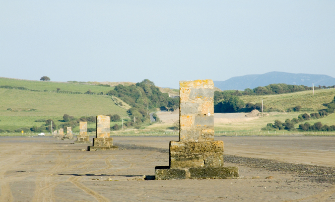 Enclosure in Inishmulclohy OR Coney IslandEnclosure · 1318 yd
 Coney IslandIsland · 1344 yd
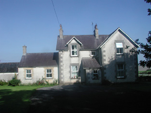 The Rectoryrectory/glebe/vicarage/curate's house · 1648 yd
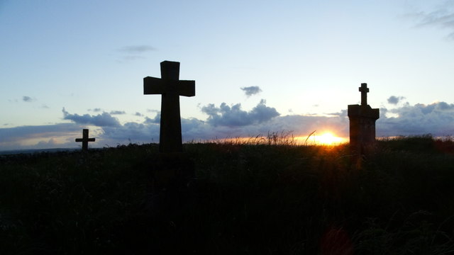 Graveyard in KillaspugbroneGraveyard · 1699 yd
 Killaspugbrone GraveyardRuins · 1709 yd
 Maguins IslandIslet · 1.1 mi
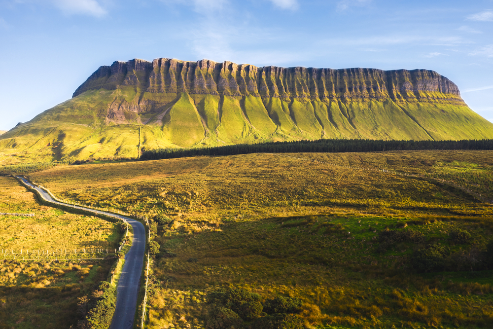 SuperHeritage attraction · 1.5 mi
 Rosses Point BeachBeach / strand · 1.5 mi
 Saint Anne's Church (Killaspugbrone)church/chapel · 1672 yd