What is recorded here
Rossbehy Spit is an irregularly shaped, elongated promontory that projects northwards into Dingle Bay. It comprises a large expanse of sandhills and is c. 4km long and up to .75km wide. A midden is exposed on its E side, close to the NW end of a mid-nineteenth century sea-wall. This deposit occurs as a spread of shells and stone, and measures 8.9m NW x 3.8m SE. It averages .2m thick and occurs below 1.3m of sand. Two areas of the deposit exhibit clear evidence of burning, with the blackened sand containing fire-shattered stones and some charcoal. The midden's content is dominated by cockles, but oysters, mussels, periwinkles, whelks and barnacles also occur. The majority of the stones that are intermixed with the deposit are small pebbles, though a number of larger, flat stones (averaging .2m x .15m) also occur. An annular ring and a small number of iron nails were recovered from the surface of the midden (NMI 1989:7a-c).
The above description is derived from A. O'Sullivan and J. Sheehan (compilers), 'The Iveragh peninsula: an archaeological survey of South Kerry'. Cork University Press (1996), no. 12. In certain instances the entries have been revised and updated in the light of recent research.
Date of upload: 28 July 2013
The monument record does not grant public access. Check the route and ask the landowner before entering private land.
- What survives
- Recorded monument
Places near here
 Rossbeigh BeachBeach / strand · 743 yd
 IndicatedFairy fort / earthen ringfort · 1.0 mi
 CaveMan-made underground passage · 1.4 mi
 Glenbeigh Church (Glanbehy)church/chapel · 1.5 mi
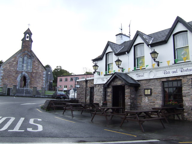 hotelhotel · 1.5 mi
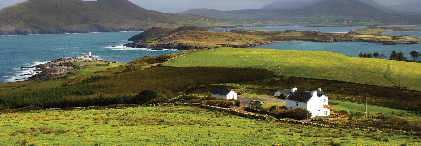 LaghtsheeMountain / peak · 1.6 mi
 KnockatinnaMountain / peak · 2.3 mi
 Lough Nambrackdarrig Nature ReserveNature reserve · 2.9 mi
 Lough Yganavan Nature ReserveNature reserve · 3.4 mi
 Kerry Bog VillageHeritage attraction · 3.6 mi
 Mountain StageViewpoint · 3.8 mi
 Cromane BeachBeach / strand · 3.9 mi