What is recorded here
On the W side of a trackway running along the shoreline of Ballynakill Harbour; just below the field level. This midden (visible extent 0.8m) is almost completely obscured by scraw and grass. It consists of a narrow band of oyster shells (D 0.1m) that visible c. 0.3m below the sod cover. There is a drop of c. 1m between it and the trackway.
This monument was brought to the attention of the Archaeological Survey of Ireland by M. Gibbons, Archaeologist, Clifden.
The following image has been uploaded: GA022-114----_01.jpg
Compiled by: Olive Alcock
Date of upload: 24 February 2016
The monument record does not grant public access. Check the route and ask the landowner before entering private land.
- What survives
- Recorded monument
Places near here
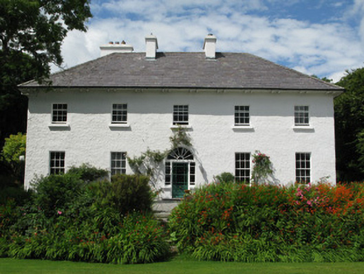 Garraunbaun Househouse · 614 yd
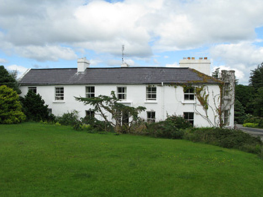 Crocknaraw Househouse · 1215 yd
 DerrylahanMountain / peak · 1410 yd
 St. Canannaghs WellHoly well · 1624 yd
 RoeillaunIslet · 1.2 mi
 Enclosure in RoscreaEnclosure · 1.2 mi
 Tully MountainMountain / peak · 2.1 mi
 GlassillaunIslet · 2.3 mi
 Connemara National Park Visitor CentreHeritage attraction · 2.7 mi
 Connemara National ParkNational park · 2.7 mi
 Rinvyle Castle (in ruins)Castle, tower house · 3.8 mi
 Renvyle CastleCastle · 3.8 mi