What is recorded here
Situated in a level area of sand and marram grass within the landtake of Strandhill airport. Prior to its inclusion in the landtake it would have formed part of an extensive dune system. At its closest point the monument is 110 NE from the shoreline. The visible remains of the midden (L c. 10.6m WNW-ESE) lie within a relatively steep-sided, flat-bottomed drain (Wth. 1m; D 0.4m - 0.6m). For the most part the midden material lies on the floor and in the bottom 0.25m of the NNE side. There are almost no remains visible in the SSW side. The exposed remains comprise oyster, cockle, periwinkle and limpet shells together with small quantities of burnt stone. The density of the deposits varies considerably along the length exposed. The greater concentration lies in the ESE half. However, there is also a large portion at the WNW end. On the basis of the available evidence it is not possible to gauge the extent of the midden. There is certainly more material beneath the present floor level and NNE sides of the drain. However, the paucity of material in the SSW face suggests that the midden did not continue beyond this face.
Compiled by: Patrick F. O'Donovan
Date of upload: 17 June 2011
The monument record does not grant public access. Check the route and ask the landowner before entering private land.
- What survives
- Recorded monument
Places near here
 Killaspugbrone ChurchRuins · 424 yd
 Killaspugbrone GraveyardRuins · 430 yd
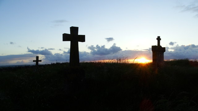 Graveyard in KillaspugbroneGraveyard · 446 yd
 Maguins IslandIslet · 816 yd
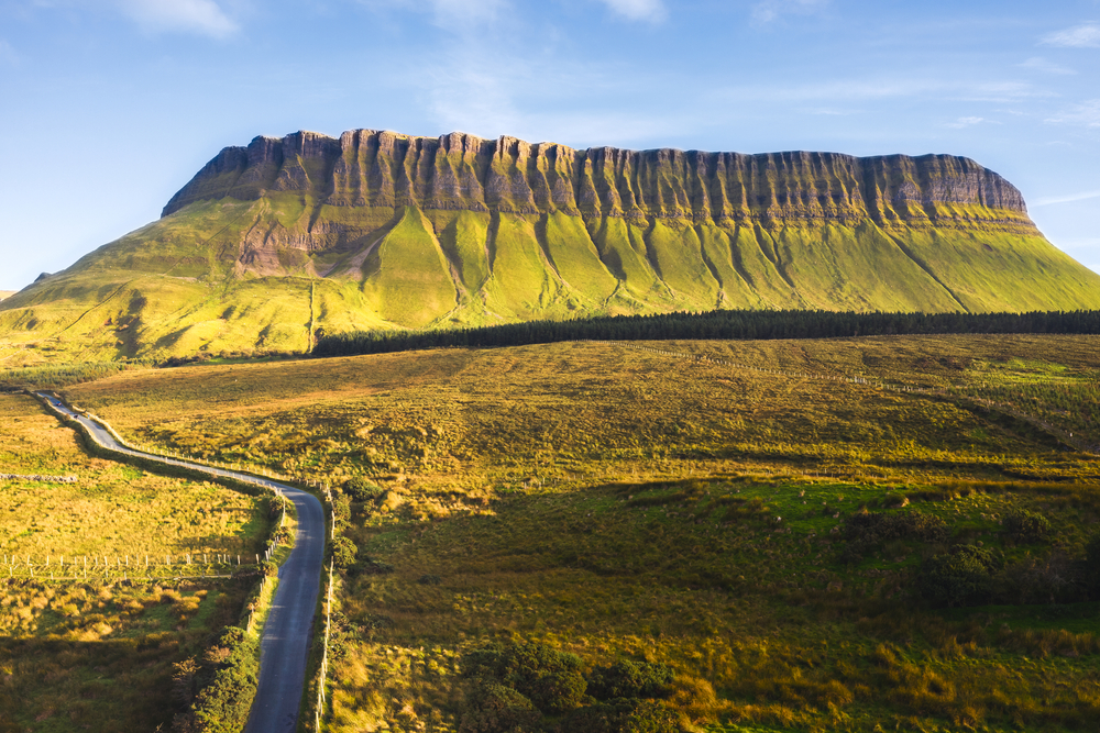 SuperHeritage attraction · 1159 yd
 CannonMonument · 1180 yd
 Doonagleragh Lodgehouse · 1243 yd
 Strandhill BeachBeach / strand · 1274 yd
 Enclosure in Larass OR StrandhillEnclosure · 1.0 mi
 Doonanpatrick IslandIslet · 1.2 mi
 CulleenamoreBeach / strand · 1.6 mi
 Knocknarea trailWalking route · 2.2 mi