What is recorded here
Horse Island and the mainland nearly touch at Kilbaha South, leaving a narrow neck where people built a promontory fort and cut an inner defensive ditch. Limpet shells mixed into the ditch fill suggest the site was also a dumping place, perhaps for kitchen scraps or unwanted shell after meals. The fort faced open water and likely watched the coast, while the midden hints that daily life there included eating, discarding and remembering the sea.
Situated on the W side of a very narrow neck of land joining Horse Island to the mainland. A quantity of limpet shells forming part of the fill of a fosse. The fosse itself forms part of the inner defences of a promontory fort (CL071-014----) excavated in 2006 (Lynch and Jones 2009, 57)(Licence no. 06E0260).
CL071-014001-_01.jpg attached.
Compiled by: Mary Tunney
Date of upload: 2 December 2014
The monument record does not grant public access. Check the route and ask the landowner before entering private land.
- What survives
- Recorded monument
Places near here
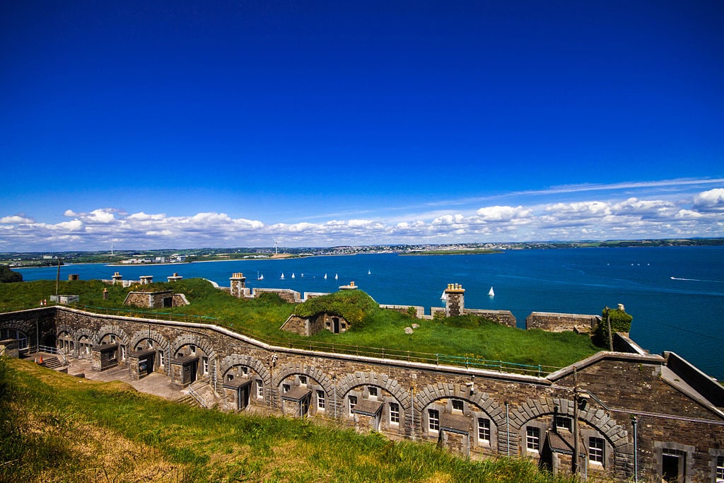 Promontory fortPromontory fort, coastal · 93 yd
 Dunmore HeadHeadland · 259 yd
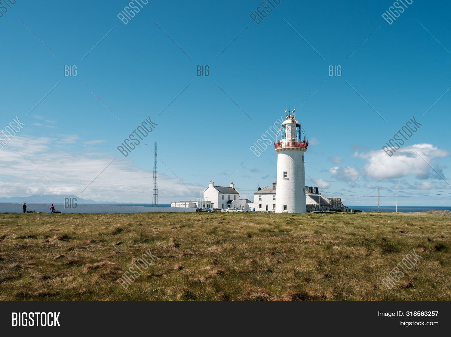 Enclosure in Kilbaha SouthEnclosure · 716 yd
 pier/jettypier/jetty · 1.4 mi
 Morven AnchorMemorial · 1.5 mi
 Wild Atlantic Way: Loop HeadVisitor information · 1.8 mi
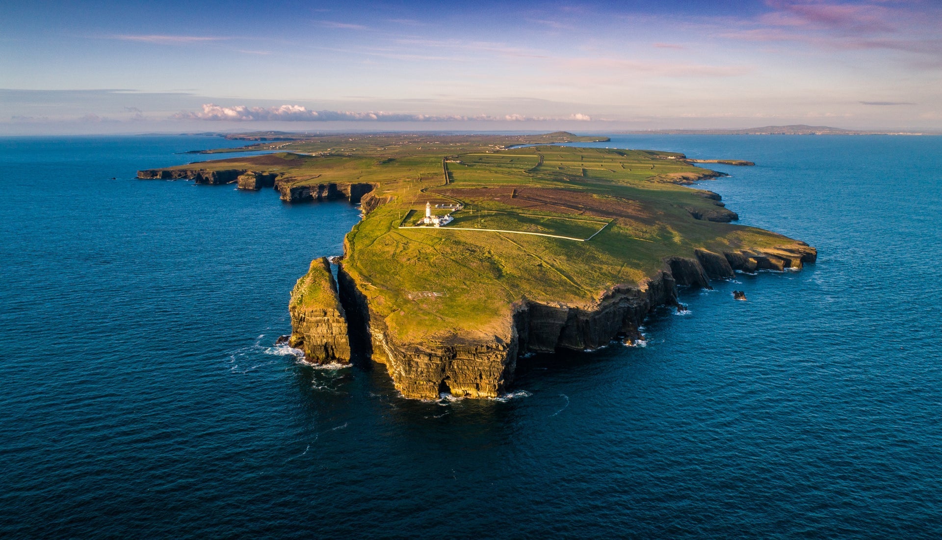 Loop HeadVisitor information · 1.8 mi
 Loop Head LighthouseLighthouse · 1.8 mi
 Bridge of RossViewpoint · 2.5 mi
 Grave of the Yellow MenMemorial · 2.5 mi
 Kilcloher HeadHeadland · 3.2 mi
 Cloghaunsavaun Castle (Site of)Castle, unclassified · 3.5 mi