What is recorded here
Midden in Inishmulclohy OR Coney Island is a midden in Inishmulclohy OR Coney Island, County Sligo, Ireland. It lies at the edge of a headland projecting from the NE end of Coney Island, where a vertical scarp defines the E side above a stone-strewn shoreline. A small portion, 1m long and 0.1 to 0.2m deep, remains visible about 1m above the water, packed with cockle and limpet shell. Radiocarbon analysis dated this layer to the Early Medieval period, while a bastioned fort stands above it on the same headland.
Located at the edge of a headland projecting from the NE end of Coney Island, in Sligo Bay. The midden is visible in section in a vertical scarp or low cliff which defines the E side of the headland, bordering a stone-strewn shoreline. The location provides access at low tide to a broad expanse of sand flats. Much of the cliff face is obscured by overgrowth, and only a small portion (L 1m N−S; D 0.1-0.2m) of the midden layer is exposed to view at a height of c. 1m above the shoreline. It consists of a concentration of cockle and limpet shell. In 2009 the midden was sampled (09E0174) for radiocarbon analysis and produced a date in the Early Medieval period (Sherlock et al. 2009, 2-6; Kytmanov et al. 2010, 23). There is a bastioned fort (SL014-002----) on the headland, above the midden.
Compiled by: Jane O’ Shaughnessy
Date of upload: 29 September 2016
The monument record does not grant public access. Check the route and ask the landowner before entering private land.
- What survives
- Recorded monument
Places near here
 Bastioned fort in Inishmulclohy OR Coney IslandBastioned fort · 31 yd
 Enclosure in Oyster IslandEnclosure · 406 yd
 The Metal Manbeacon · 437 yd
 Oyster Island Lighthouselighthouse · 439 yd
 Oyster IslandIslet · 802 yd
 Waiting on ShoreMemorial · 892 yd
 Coney IslandIsland · 945 yd
 Rosses Point BeachBeach / strand · 1011 yd
 Doonanpatrick IslandIslet · 1683 yd
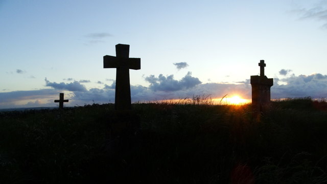 Graveyard in KillaspugbroneGraveyard · 1.6 mi
 Drumcliff BayBay · 1.7 mi
 SuperHeritage attraction · 2.3 mi