What is recorded here
Located on an islet named Eagle’s Nest on the OS 6-inch maps. The oblong, grass-covered islet (c. 40m WNW-ESE; c. 15m NNE-SSW) stands proud of a broad shelf of bedrock which projects out from the mainland. The bedrock is inundated at high tide, but is exposed at low tide when the islet is accessible.
The midden is visible in section, just below the sod, on the eroding S edge of the islet. It is composed predominately of limpets in a layer of dark brown soil. It has been severely eroded, and it is difficult to determine its original extent. A promontory fort (DG098-034----), encompassing a headland, is located 100m to SE.
Compiled by: Jane O'Shaughnessy
Date of upload: 5 February 2019
The monument record does not grant public access. Check the route and ask the landowner before entering private land.
- What survives
- Recorded monument
Places near here
 Raneely Coastal Promontory FortPromontory fort, coastal · 201 yd
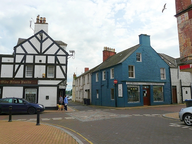 Friars WellHoly well · 534 yd
 White HillMountain / peak · 1326 yd
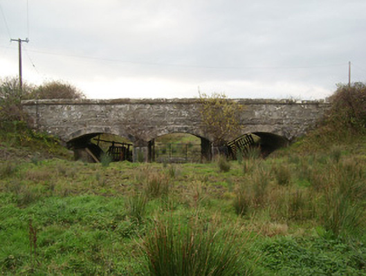 bridgebridge · 2.7 mi
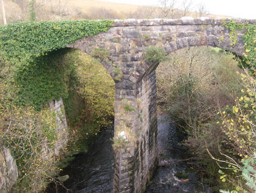 Bunlacky Railway Bridgebridge · 2.8 mi
 GinkgoGinkgo · 3.2 mi
 Bawn in Rahan NearBawn · 3.4 mi
 Killaghtee Old Church GraveyardGraveyard · 3.7 mi
 Salthill GardensHeritage attraction · 4.1 mi
 Wych ElmWych Elm · 4.2 mi
 RossnowlaghOfficial bathing water · 4.8 mi
 Kilbarron Castle in ruinsCastle, tower house · 5.1 mi