What is recorded here
A small stone enclosure 11m N-S, 9m E-W. The wall consists of a line of stones most of them laid edge to edge. The stones are up to .6m in height. Some stones have collapsed. A stone set transversely to the line of the wall on the W may mark an entrance. At the SE is a circular setting of stones 2m across but this is a very recent feature. About 10m NW, are two short settings of stones of unclear purpose. The site is located 60m E of Rosses Strand on the NE side of Tranarossan Bay close to midden deposits.
The above description was derived from the 'Archaeological Survey of County Donegal. A description of the field antiquities of the County from the Mesolithic Period to the 17th century.' Compiled by: Brian Lacey with Eamon Cody, Claire Cotter, Judy Cuppage, Noel Dunne, Vincent Hurley, Celie O'Rahilly, Paul Walsh and Seán Ó Nualláin (Lifford: Donegal County Council, 1983). In certain instances the entries have been revised and updated.
Date of upload: 22 September 2008
The monument record does not grant public access. Check the route and ask the landowner before entering private land.
- What survives
- Recorded monument
Places near here
 Rosses StrandBeach / strand · 498 yd
 Enclosure in Dún Dubháin ÍochtarachEnclosure · 639 yd
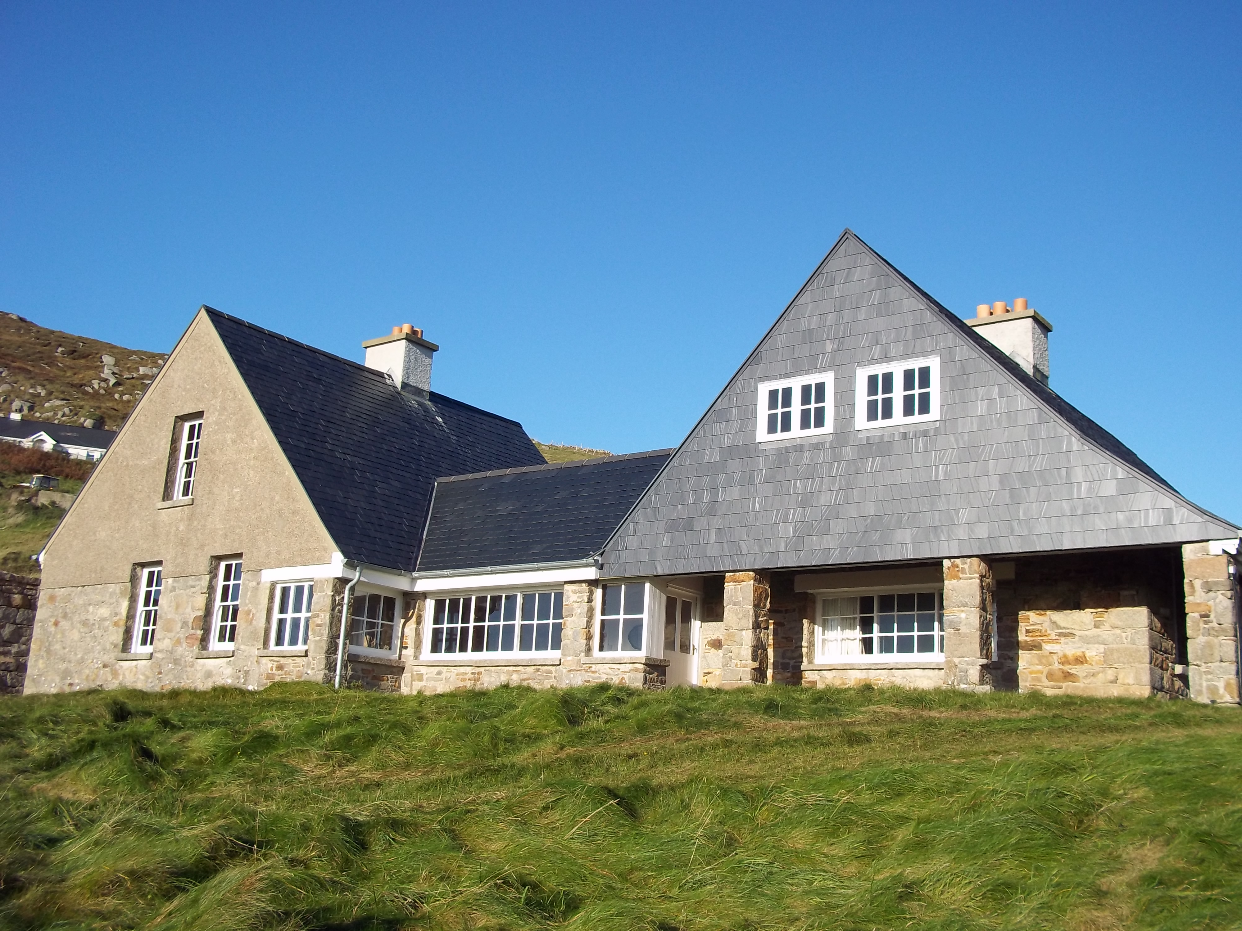 Tranarossan Househouse · 674 yd
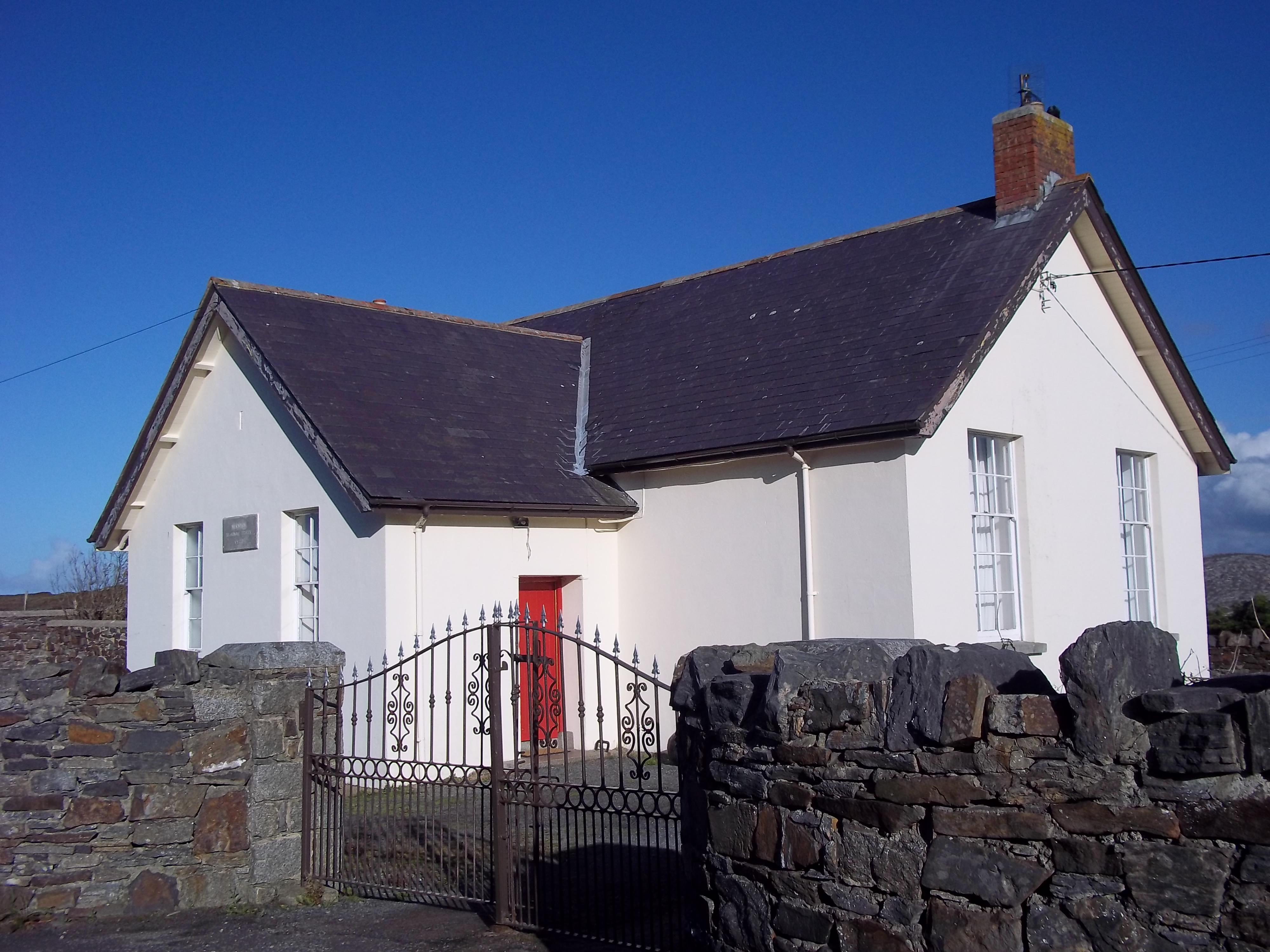 Scoil Náisiúnta Míobhaigh [Meevagh National School]school · 877 yd
 Cnoc na SleáMountain / peak · 997 yd
 Boyeeghter Strand Coastal Promontory FortPromontory fort, coastal · 1382 yd
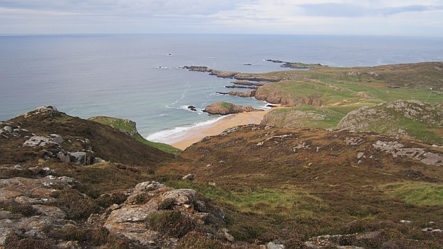 Boyeeghter StrandBeach / strand · 1503 yd
 The Murder HoleCave · 1569 yd
 Cliffs on Ros GuillPublicly named cliff or headland · 2.9 mi
 Cliffs at Lamb's IslandPublicly named cliff or headland · 2.9 mi
 Moross CastleCastle, tower house · 4.3 mi
 Clonmass IslandIslet · 4.3 mi