What is recorded here
Described in 2001 as 'To the north of the western edge of the railway embankment at Blanket Nook an area of shoreline on the edge of the adjacent field has, through erosion, on occasions produced traces of shell middens one of which has produced a sample for C14 dating Beta 155378 5130+-60bp' (Woodman & Milner 2001, 29-30; Milner & Woodman 2007, 104-5, No. 9).
Compiled by: Caimin O'Brien
Date of upload: 17 August 2010
The monument record does not grant public access. Check the route and ask the landowner before entering private land.
- What survives
- Recorded monument
Places near here
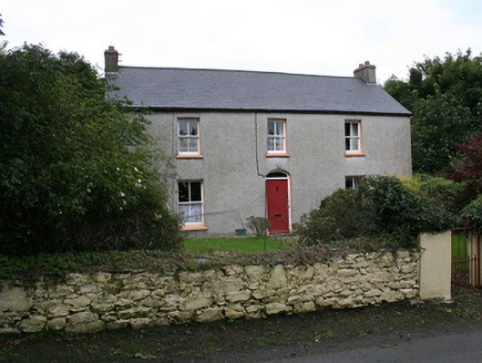 farm housefarm house · 983 yd
 Old ChurchChurch · 1231 yd
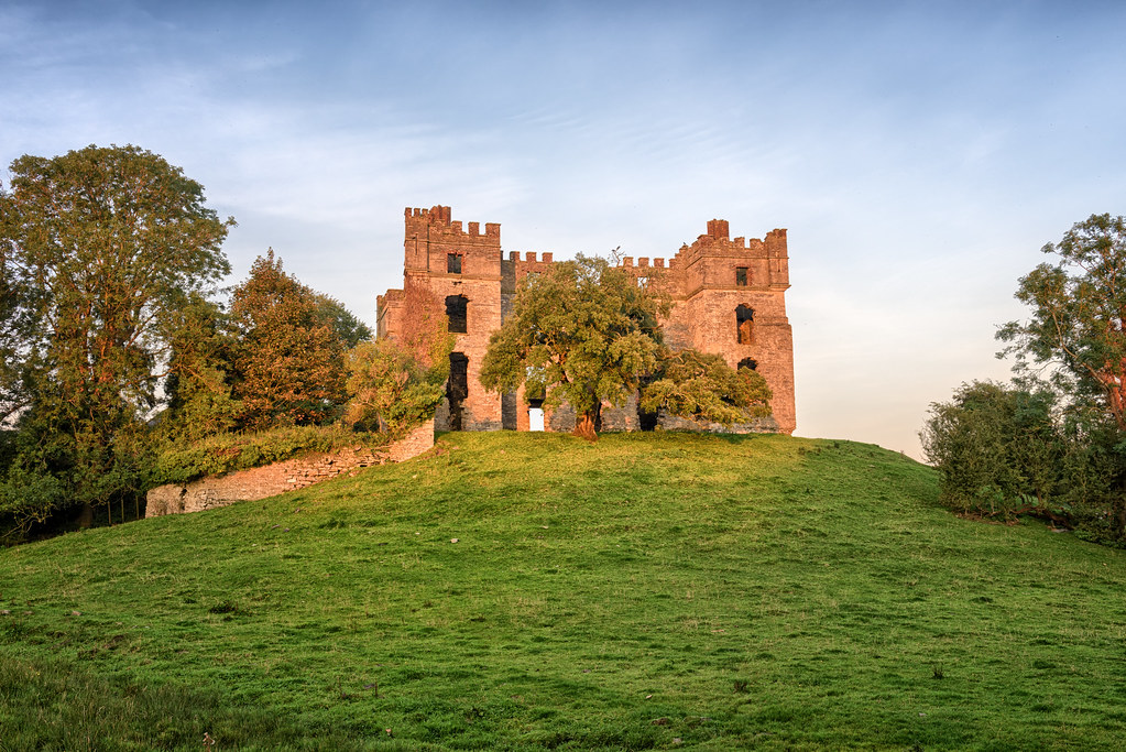 Roughan Glebe Fairy FortFairy fort / earthen ringfort · 1.1 mi
 Burt CastleCastle, tower house · 1.2 mi
 Roughan Fairy FortFairy fort / ringfort · 1.2 mi
 Fort Stewart in RuinsBawn · 1.6 mi
 Mullanadee ShoreBeach / strand · 3.0 mi
 Emmery Celtic CrossWood · 3.6 mi
 Greenan MountainMountain / peak · 4.1 mi
 Grianán of AileachFairy fort / stone ringfort · 4.1 mi
 Mass RockNamed rock · 4.2 mi
 Brown’s PointHeadland · 4.5 mi