What is recorded here
Located in the W face of sand dunes on Dooghmekeon Strand, at the S end of the area marked as ‘White Strand’ on the 1919 OS 6-inch map. A band of shells, within a sandy matrix, is visible in section in the eroding W face of the sand dune. It extends for c. 40m N-S, at a depth of c. 1m below the grass-covered top of the sand dune and c. 3-3.5m above the level of the beach. The midden is deepest (D c. 1m) towards the N end of its extent, where shell, stone, an animal tooth, and a possible stone wall were noted. Towards the S end of the midden, the concentration of shells lessens and layer gradually peters out. Shells, which had eroded out of the midden on to the beach, were identified as limpets and periwinkles. There is another midden (MA095-001----) c. 150m to S.
Compiled by: Jane O'Shaughnessy
Date of upload: 30 April 2014
The monument record does not grant public access. Check the route and ask the landowner before entering private land.
- What survives
- Recorded monument
Places near here
 Carrownisky BeachBeach / strand · 344 yd
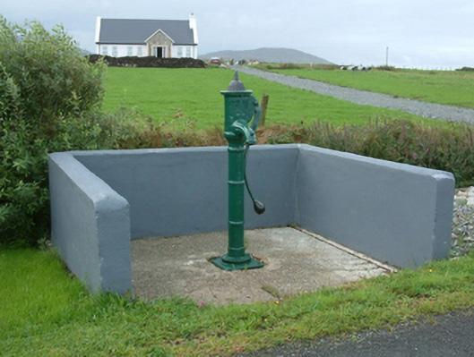 water pumpwater pump · 1434 yd
 Turloughbeg StrandBeach / strand · 1527 yd
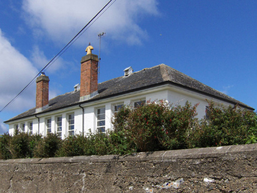 Saint Patrick's National Schoolschool · 1.5 mi
 KilleenBurial ground · 2.3 mi
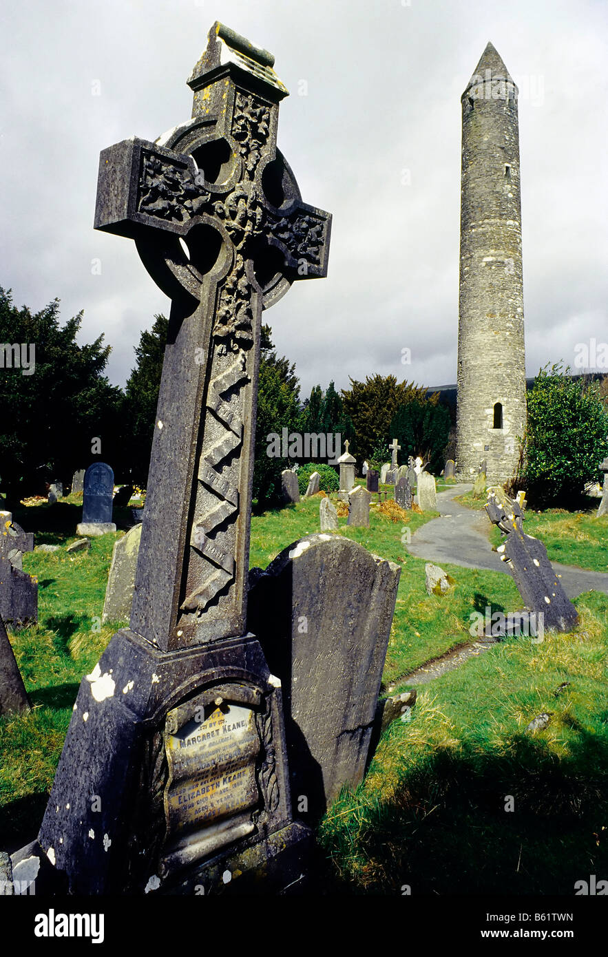 Grave YardEnclosure · 2.6 mi
 O'Malley's CastleCastle · 2.9 mi
 Granuaile's CastleCastle · 4.3 mi
 Oldhead Wood Nature ReserveWood · 5.2 mi
 Caher IslandIsland · 5.8 mi
 Clare IslandIsland · 6.0 mi
 ScalpatruceMountain / peak · 6.1 mi