What is recorded here
On the same eroded sand-face as KE055-005----, and 13.7m to W, is a shell midden which is 3.8m long and .15m in maximum thickness. It is composed predominantly of mussel shells, with some cockles and periwinkles also occurring, as well as small quantities of charcoal. It occurs in a light-coloured, intermittently stony layer of sand, which is located .25m below present ground level.
The above description is derived from A. O'Sullivan and J. Sheehan (compilers), 'The Iveragh peninsula: an archaeological survey of South Kerry'. Cork University Press (1996), no. 7. In certain instances the entries have been revised and updated in the light of recent research.
Date of upload: 30 July 2013
The monument record does not grant public access. Check the route and ask the landowner before entering private land.
- What survives
- Recorded monument
Places near here
 Lough Nambrackdarrig Nature ReserveNature reserve · 1.4 mi
 Lough Yganavan Nature ReserveNature reserve · 1.7 mi
 Caragh Bridgebridge · 1.8 mi
 IndicatedFairy fort / earthen ringfort · 2.0 mi
 Cromane BeachBeach / strand · 2.1 mi
 Glenbeigh Hotelhouse · 2.1 mi
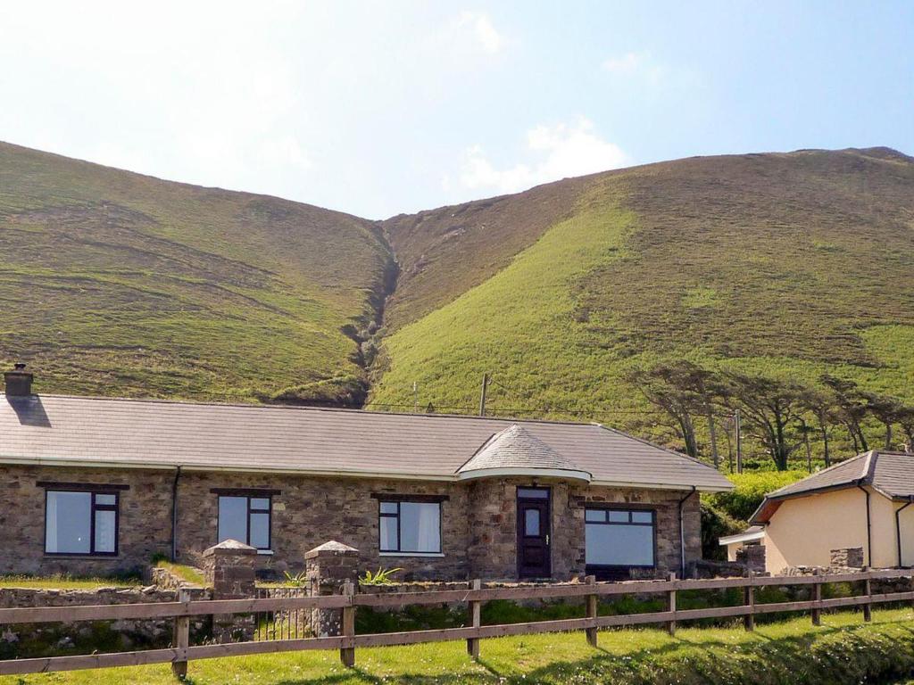 Rossbeigh TowerMonument · 2.1 mi
 Kerry Bog VillageHeritage attraction · 2.3 mi
 Rossbeigh BeachBeach / strand · 2.3 mi
 SeefinMountain / peak · 3.0 mi
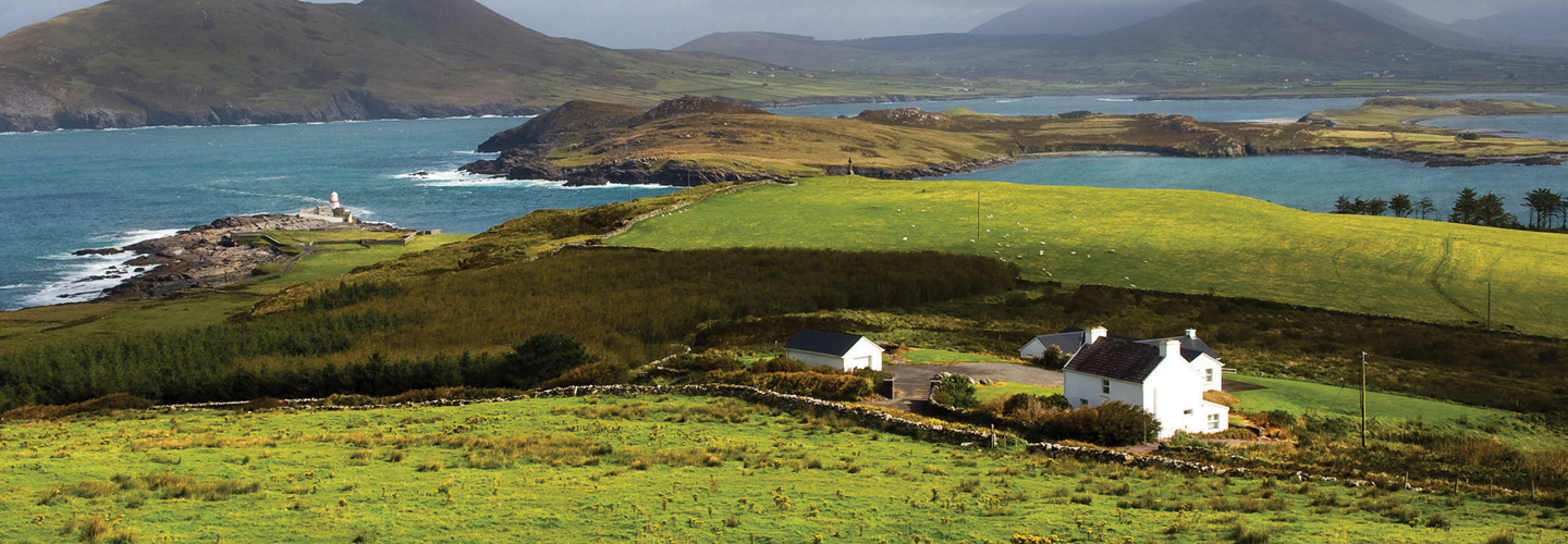 LaghtsheeMountain / peak · 3.0 mi
 Cromane PointHeadland · 3.8 mi