What is recorded here
This shell midden occurs in a low, eroding sand-face at the head of a stony beach, c. 600m S of the previous lite. The exposed deposit is 4.2m long and has a maximum thickness of .08m. It is predominantly composed of mussel shells, but some cockle, whelk and periwinkle also occur. The midden material occurs in a compact spread of brown sand, .4m below present ground level, and rests directly on a dark peaty layer.
The above description is derived from A. O'Sullivan and J. Sheehan (compilers), 'The Iveragh peninsula: an archaeological survey of South Kerry'. Cork University Press (1996), no. 6. In certain instances the entries have been revised and updated in the light of recent research.
Date of upload: 28 July 2013
The monument record does not grant public access. Check the route and ask the landowner before entering private land.
- What survives
- Recorded monument
Places near here
 Lough Nambrackdarrig Nature ReserveNature reserve · 1.4 mi
 Lough Yganavan Nature ReserveNature reserve · 1.6 mi
 Caragh Bridgebridge · 1.8 mi
 Cromane BeachBeach / strand · 2.0 mi
 IndicatedFairy fort / earthen ringfort · 2.0 mi
 Glenbeigh Hotelhouse · 2.1 mi
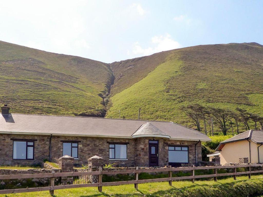 Rossbeigh TowerMonument · 2.2 mi
 Kerry Bog VillageHeritage attraction · 2.3 mi
 Rossbeigh BeachBeach / strand · 2.3 mi
 SeefinMountain / peak · 3.0 mi
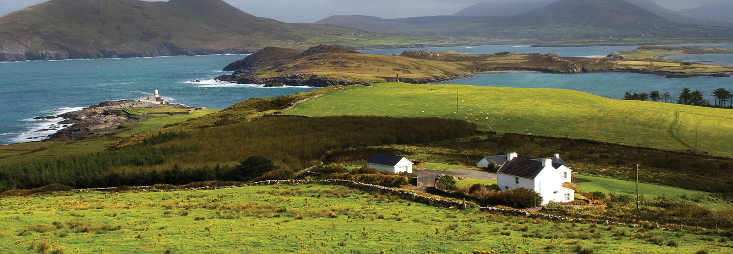 LaghtsheeMountain / peak · 3.1 mi
 Cromane PointHeadland · 3.7 mi