What is recorded here
Situated on cliff-edge slope on E side of Ballysadare Bay, on inspection in 1991, this was found to consist of a compacted shell-midden consisting mainly of oysters but with a mixture of other shells (19m NW-SE by 5m E-W and up to 5m deep). At the E the midden was covered by the modern road and was formerly covered by a stone-built retaining wall. Part of this wall and the upper 1m of the midden was leveled in 1991. The exposed section of the midden contained two thin lenses of charcoal (c. 1m long), the probable remnants of hearths. These lenses were covered by 0.5m of shells suggesting that they were in use during the formation of the midden.
Compiled by: Paul Walsh
Date of upload: 5 August 2015
The monument record does not grant public access. Check the route and ask the landowner before entering private land.
- What survives
- Recorded monument
Places near here
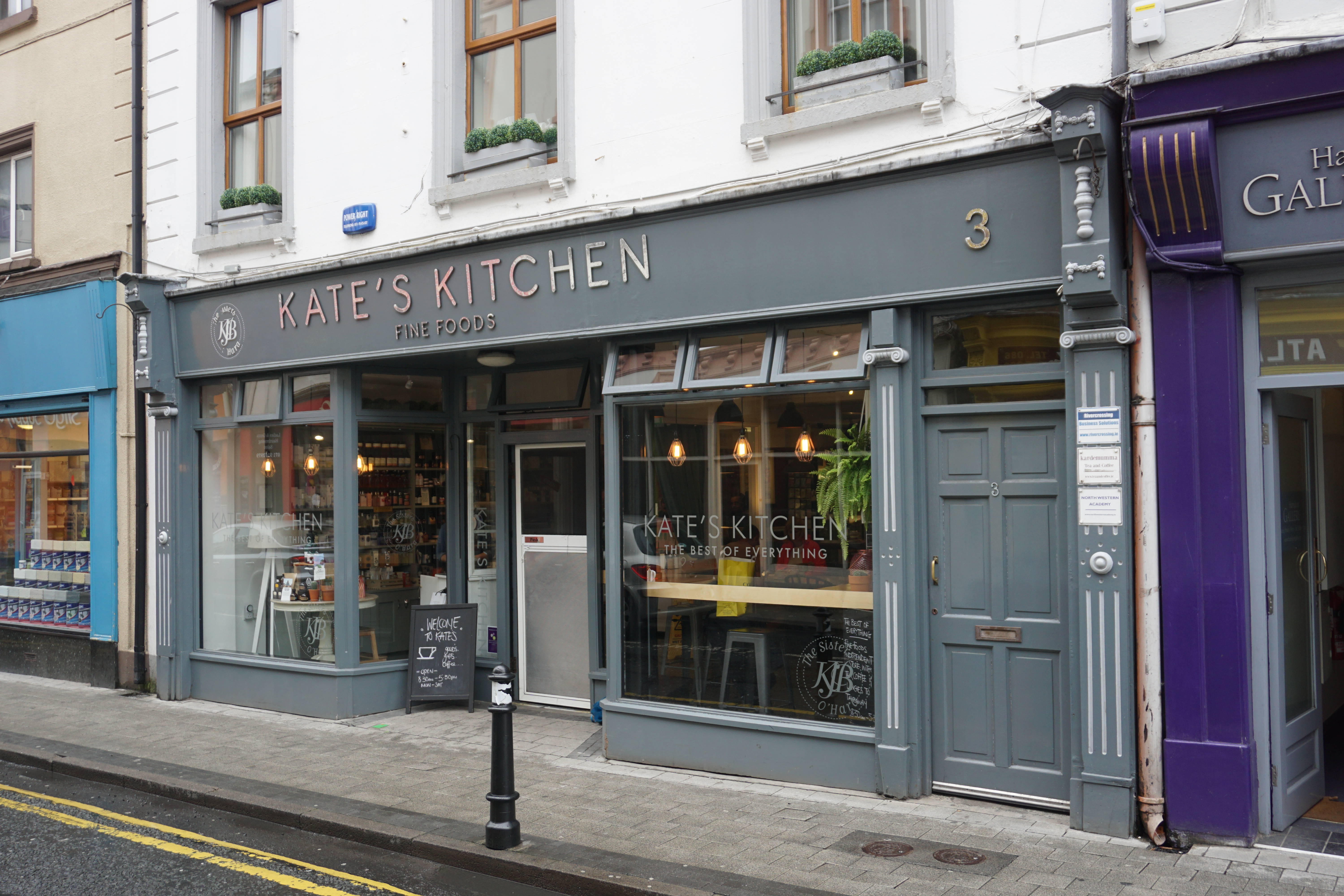 Kitchen MiddenEnclosure · 479 yd
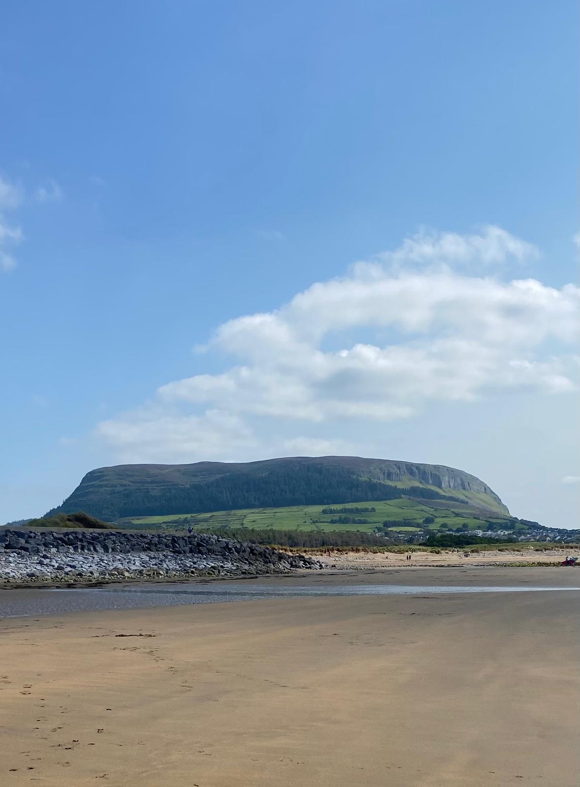 Enclosure in CulleenamoreEnclosure · 696 yd
 KnocknareaMountain / peak · 1300 yd
 Herdsman’s HutRuins · 1392 yd
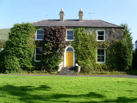 Glen Lodgehouse · 1399 yd
 CulleenamoreBeach / strand · 1407 yd
 The GlenWood · 1636 yd
 Knocknarea trailWalking route · 1694 yd
 Castle (in Ruins)Castle, unclassified · 1.3 mi
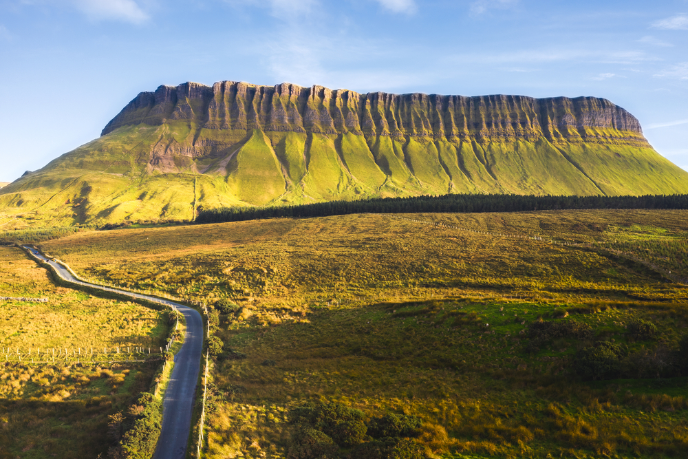 SuperHeritage attraction · 1.4 mi
 Portavaud PointHeadland · 1.6 mi
 Ballinlig PointHeadland · 1.6 mi