What is recorded here
Located towards the SE end of the S shoreline of Bartragh Island. A concentration (L c. 1m; D 0.1-0.2m) of cockle shells is visible in section towards the base of a high vertical scarp that borders the S shoreline of the island. The scarp face is largely obscured by vegetation and by collapsing overhangs caused by erosion. The midden layer is located c. 0.5m above the base of the scarp. It has been partly eroded out of the section face and its full extent is obscured by vegetation. There is another midden (MA022-117----) c. 120m to E at the SE tip of the island.
Compiled by: Jane O'Shaughnessy
Date of upload: 17 September 2012
The monument record does not grant public access. Check the route and ask the landowner before entering private land.
- What survives
- Recorded monument
Places near here
 Enclosure in Bartragh IslandEnclosure · 220 yd
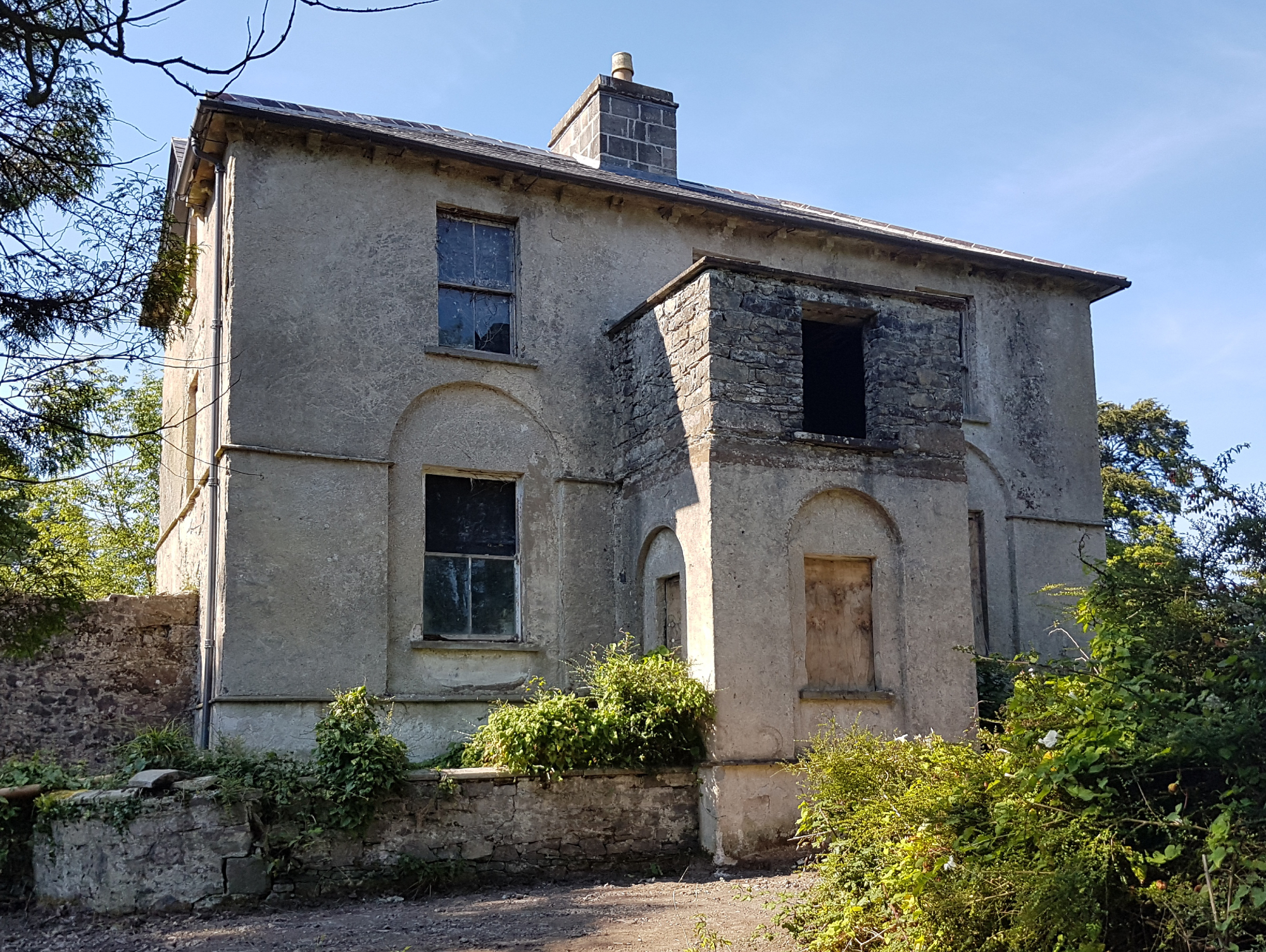
 Bartragh Housecountry house · 524 yd
 Horse IslandIslet · 651 yd
 Barnasock PointHeadland · 1469 yd
 Goose IslandIslet · 1514 yd
 Gortabradawn PointHeadland · 1673 yd
 Ballysakeery CastleCastle, unclassified · 1.1 mi
 IndicatedFairy fort / earthen ringfort · 1.1 mi
 Church in RuinsChurch · 1.1 mi
 Enniscrone BeachBeach / strand · 1.2 mi
 Moyne AbbeyHeritage attraction · 1.4 mi
 The Black PigMemorial · 1.5 mi