What is recorded here
One episode of metalworking was noted in the middle of Phase 1 deposits of the major E-W boundary ditch close to the crux with the NNE-SSW boundary (ME025-081----). A pit (diam. c. 0.78m; D 0.13m) had a burnt base with slag and ash in its fill. There was a flat-topped stone (dims 0.25m x 0.18m; T 0.06m) beside it and six stake-holes nearby. A small gully ran SE-NW (L 2m), and all the features except the gully were sealed by a thin layer of charcoal with lenses of slag and sand. A covering layer of charcoal spread over all the features, including the gully. The metalworking took place between Phases 1 and 2 of the E-W boundary ditch. (Giacometti 2007, 45-6)
See the attached plans:_02 of excavated features (from Halliday 2009 fig. 25); _03 Rectangular enclosure and ring-ditches (_04) from Giacometti (2007 figs 6, 10)
Compiled by: Michael Moore
Date of upload: 5 April 2023
Giacometti, A. 2007 Site 1. Navan Inner Relief Road. Licence: 06E0274. Final unpublished report, Arch-Tech
The monument record does not grant public access. Check the route and ask the landowner before entering private land.
- What survives
- Recorded monument
Places near here
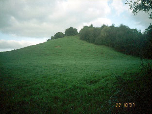 Navan MoatOfficially recorded historic building · 150 yd
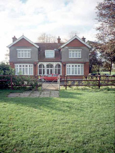 Mount Rivershouse · 151 yd
 Enclosure in MoathillEnclosure · 193 yd
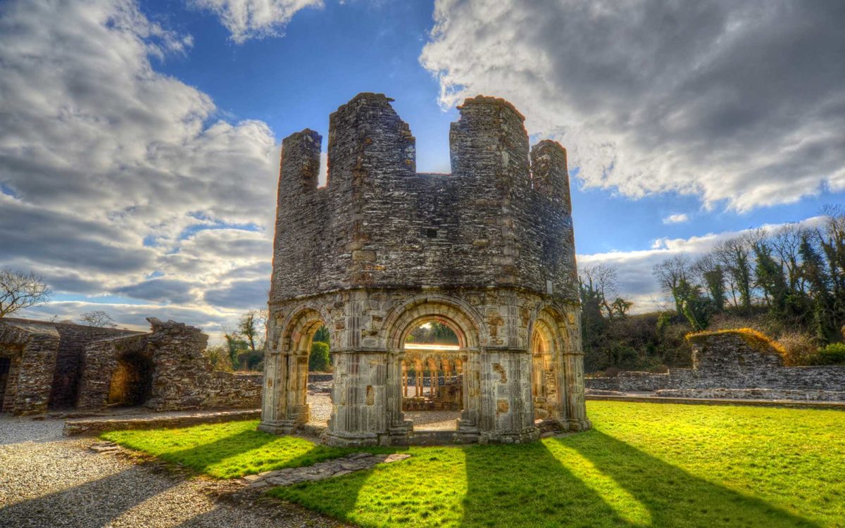 Burnt spread in Abbeyland SouthBurnt spread · 980 yd
 The RampartWood · 1495 yd
 Nangle CourtMemorial · 1549 yd
 CastleCastle, motte · 1.0 mi
 Rathaldron Ho.Castle, tower house · 1.3 mi
 Blackcastle DemesneWood · 2.0 mi
 Donaghmore Round TowerHeritage attraction · 2.0 mi
 BohermeenMountain / peak · 3.0 mi
 Carn HillMountain / peak · 3.1 mi