What is recorded here
In an undeveloped greenfield plot, to E of McGuire’s Yard and W of an oil storage depot. Not depicted on OS historic mapping. Identified by Celie O'Rahilly, archaeologist, Limerick Corporation, during the course of field survey. Described by O'Rahilly as visible as a spread of possible slag, located in the angle of a recently deepened drain.
See attached Google Earth orthoimage 02/07/2018 and field map by O'Rahilly showing location of iron slag find.
Compiled by: Alison McQueen, Vera Rahilly and Caimin O’Brien
Date of upload: 26 June 2020
The monument record does not grant public access. Check the route and ask the landowner before entering private land.
- What survives
- Recorded monument
Places near here
 Enclosure in CourtbrackEnclosure · 219 yd
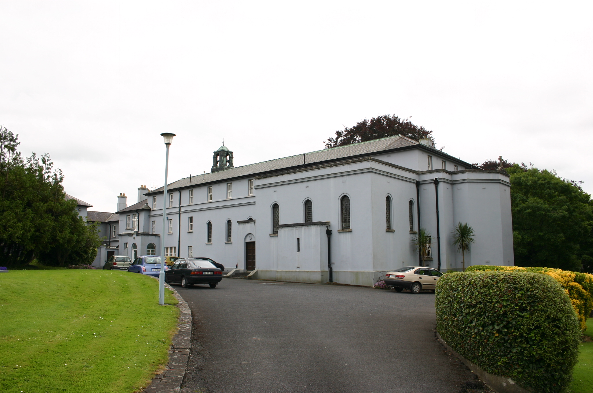 Westbournehouse · 664 yd
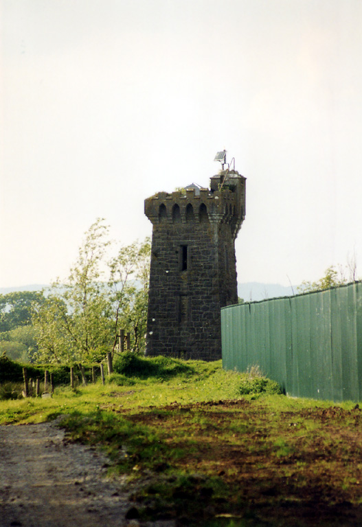 beaconbeacon · 734 yd
 Riverine revetment in Ballinacurra (hart),ballykeeffeRiverine revetment · 1224 yd
 Limerick Seamen's MemorialMemorial · 1.0 mi
 Saint John Paul IIMemorial · 1.1 mi
 Castle Blake or Farranshone (Site of)Castle, unclassified · 1.4 mi
 King's IslandIsland · 1.8 mi
 Coreen Castle (in ruins)Castle, unclassified · 1.8 mi
 Coonagh NatureNature reserve · 1.9 mi
 Fountain SculptureHeritage attraction · 3.6 mi
 Visitor CentreVisitor information · 3.7 mi