What is recorded here
Kinahan recorded a hidden chamber in 1889, but no trace remains today. The trigonometrical survey likely broke open that secret, scattering the stones across the flat summit. What was concealed is now exposed, transformed from a vessel into a marker visible from every valley below.
A circular cairn of loose stones c. 17m in diameter. It is flat topped, from 1.5m to 2m in height. It was used as a trigonometrical station which may account for its disturbed state but there is no sign of the 'Kistvaen' noted by Kinahan (1889, 280). It is situated on the summit of Meskanmeave Hill in mountainous terrain but with extensive views.
The above description was derived from the 'Archaeological Survey of County Donegal. A description of the field antiquities of the County from the Mesolithic Period to the 17th century.' Compiled by: Brian Lacey with Eamon Cody, Claire Cotter, Judy Cuppage, Noel Dunne, Vincent Hurley, Celie O'Rahilly, Paul Walsh and Seán Ó Nualláin (Lifford: Donegal County Council, 1983). In certain instances the entries have been revised and updated.
Date of upload: 22 September 2008
A Neolithic cairn; date uncertain but likely early first millennium BCE. Its significance lies in its function as a prehistoric burial or commemorative monument, though its structural integrity has been compromised by later use as a trigonometrical station.
The monument record does not grant public access. Check the route and ask the landowner before entering private land.
- What survives
- Recorded monument
Places near here
 Former Gortcally Fairy FortFairy fort / ringfort · 1337 yd
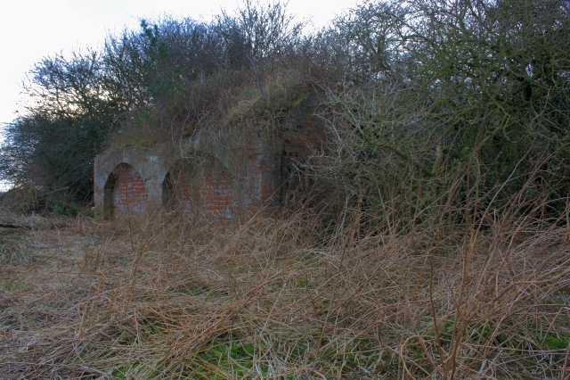 Former Lurganboy EnclosureEnclosure · 1.4 mi
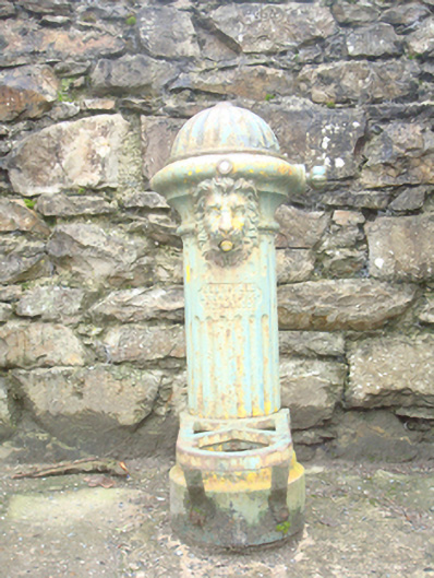 water pumpwater pump · 1.8 mi
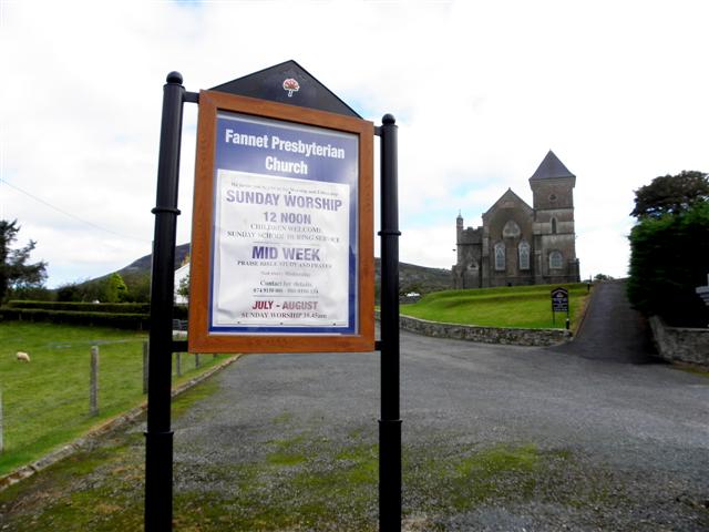 Fannet Presbyterian Churchchurch/chapel · 1.8 mi
 Croaghan HillMountain / peak · 2.3 mi
 Rough IslandIslet · 2.7 mi
 Cranberry IslandIslet · 2.9 mi
 WoodquarterForest recreation place · 3.3 mi
 Ballymastocker StrandViewpoint · 3.6 mi
 Wild Atlantic Way:Ballymastocker StrandVisitor information · 3.6 mi
 Wych ElmWych Elm · 3.8 mi
 PortsalonOfficial bathing water · 4.0 mi