
What is recorded here
Mystery and wonderment surround this ancient place. Local memory and visible remains both point to human activity long before modern records. The site preserves a small part of that wider story. What is missing has not disappeared without trace. It has scattered into landscape, memory and lost context.
Internal diam. 24.55m. A subcircular platform c. 0.8m above the surrounding ground. There is slight evidence for a perimeter bank on the W side and a heavy rush-growth around the platform might suggest a silted-up fosse. The interior is flat. The site is located on a SSE facing slope in fair to rough pasture.
The above description was derived from the 'Archaeological Survey of County Donegal. A description of the field antiquities of the County from the Mesolithic Period to the 17th century.' Compiled by: Brian Lacey with Eamon Cody, Claire Cotter, Judy Cuppage, Noel Dunne, Vincent Hurley, Celie O'Rahilly, Paul Walsh and Seán Ó Nualláin (Lifford: Donegal County Council, 1983). In certain instances the entries have been revised and updated.
Date of upload: 22 September 2008
The monument record does not grant public access. Check the route and ask the landowner before entering private land.
- What survives
- Recorded monument
Places near here
 Rahan Far Raised Fairy FortFairy fort / earthen ringfort · 552 yd
 Menamny Fairy FortFairy fort / earthen ringfort · 657 yd
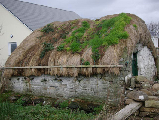 outbuildingoutbuilding · 1370 yd
 Bawn in Rahan NearBawn · 1572 yd
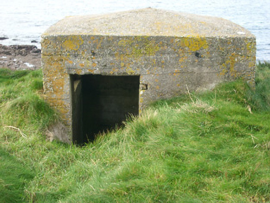 watch tower, pill boxwatch tower, pill box · 1577 yd
 Killaghtee Old Church GraveyardGraveyard · 1.4 mi
 GinkgoGinkgo · 1.5 mi
 Wych ElmWych Elm · 2.1 mi
 Carntullagh HeadHeadland · 3.0 mi
 Rashenny PointHeadland · 3.1 mi
 Rotten IslandIslet · 3.1 mi
 White HillMountain / peak · 3.2 mi
Other information
Photo: Credit not shown in the picture search · Rights wording not checked; contact us if this picture should be removed