What is recorded here
Megalithic tomb in Aghadavoyle, County Armagh: unlocated on the open map, yet recorded from a source map point. Prehistoric people may have set large stones there for burial, ceremony or boundary memory. The exact spot has slipped from the saved data, but the region still carries the weight of old stone and forgotten hands.
The official Northern Ireland record identifies this as MEGALITHIC TOMB (unlocated). Recorded period: PREHISTORIC. The official map point was placed at the centre of the recorded archaeological site from the source map reference.
Megalithic tomb, dating to the Neolithic period. Its significance lies in its representation of early communal burial practices and megalithic construction in the prehistoric landscape of Northern Ireland.
The monument record does not grant public access. Check the route and ask the landowner before entering private land.
- What survives
- Recorded monument
Places near here
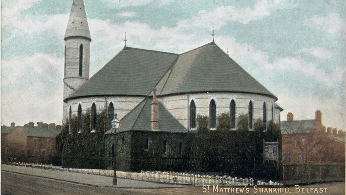 CHURCH SITE & CROSS-CARVED BOULDER: THE SHANKILL in CloghinnyCHURCH SITE & CROSS-CARVED BOULDER: THE SHANKILL · 1619 yd
 Faughill MountainMountain / peak · 1.4 mi
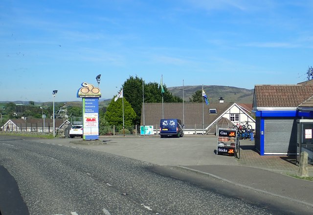 Ring of Gullion WayWalking route · 1.4 mi
 Ring of Gullion Way - Section 3Walking route · 1.5 mi
 Killeavy CastleCastle · 1.6 mi
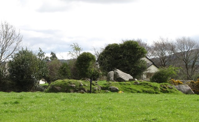 ROUND CAIRN WITH PORTAL TOMB: SOUTH CAIRN in ClonlumROUND CAIRN WITH PORTAL TOMB: SOUTH CAIRN · 1.7 mi
 Slieve GullionMountain / peak · 1.7 mi
 TievecromMountain / peak · 1.9 mi
 Church of Ireland ChurchChurch · 2.0 mi
 Ring of Gullion Way - ForkhillVisitor information · 2.0 mi
 1978 British Army Gazelle downingaviation accident · 2.1 mi
 Ring of GullionRing of hills and protected landscape · 2.2 mi