What is recorded here
No. The above is not a general claim about every failed deployment. The above is a visible failure in the requested owner record. The right answer is to show the failed owner record, explain the visible error, and ask whether to continue with the named person or wait for the correct record.
According to Thomas Fagan (1845-8), 'the ruins of a Giant's Grave' 14 feet (c. 4.25m) long and 8 feet (c. 2.4m) wide, orientated E-W, had stood in this townland, but only a 'few' stones, 1-2 feet (c. 0.3-0.6m) high, remained when he visited the area in 1846.
Fagan described the location of the monument as 3/4 of a mile (c. 1.2km) W of the road leading from Raphoe to Newtowncunningham and on the holding of William Tease. It was not shown on OS 6-inch maps: according to a note written alongside Fagan's account, the reviser who was sent to check the site for inclusion on the map after Fagan had brought it to notice found that neither Tease nor 'the oldest inhabitant in the townland' knew of it, nor was there any apparent trace of it. Today, in a field c. 1.2km from the Raphoe-Newtowncunningham road and on land occupied by William Tays in 1857 (Griffith 1848-64) there is a small upright stone at a position 33.6cm from the left-hand side and 17.6cm from the bottom of OS 6-inch sheet 62 (NGR C 261 053). It measures 0.45m by 0.45m by 0.6m high. Its origin and purpose are now unclear, but perhaps it is one of the stones noted by Fagan. Approximately 15m W of this stone and toward the NW corner of the field the surface of a large slab of rock bears rock art motifs (DG062-035) (Cody 1998). Whether the few stones noted by Fagan were the remains of a megalithic tomb is uncertain. Fagan 1845-8, book 8, 26.
The above description was published in the 'Survey of the Megalithic Tombs of Ireland. Volume VI, County Donegal.' Compiled by: Eamon Cody (Dublin: Stationery Office, 2002).
Date of update / revision : 12 August 2010
Portal dolmen; likely dates to the Neolithic period (c. 4000–2500 BCE). Its orientation and megalithic construction reflect early ritual practices associated with burial and communal memory in Ireland.
The monument record does not grant public access. Check the route and ask the landowner before entering private land.
- What survives
- Recorded monument
Places near here
 Mountainpark EnclosureEnclosure · 743 yd
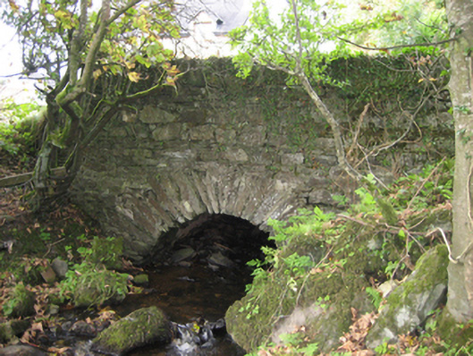 bridgebridge · 1466 yd
 schoolschool · 1697 yd
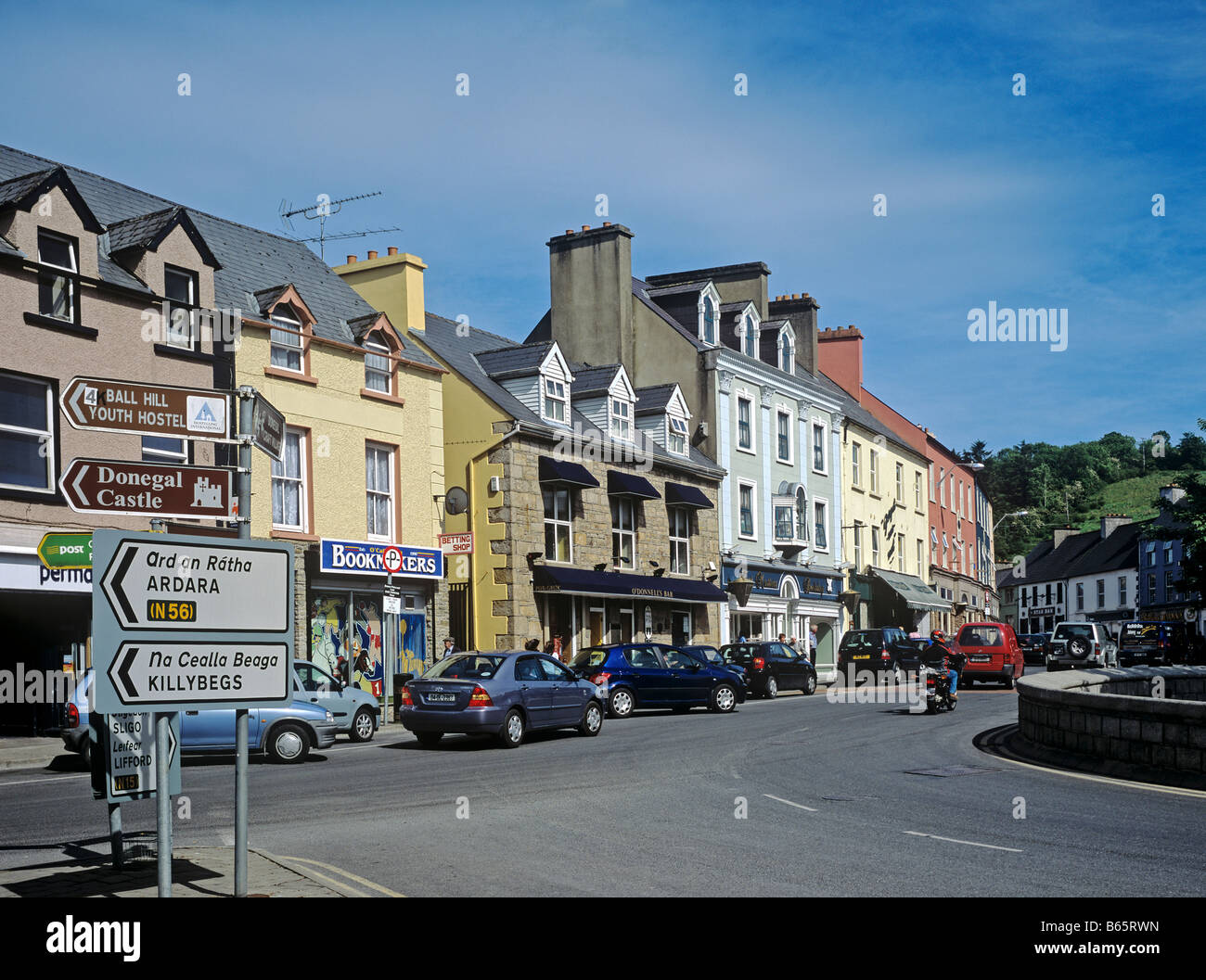 IndicatedHoly well · 1.1 mi
 Mongorry HillMountain / peak · 1.2 mi
 PalaceHouse, fortified house · 1.5 mi
 CastleCastle, unclassified · 2.7 mi
 Feddyglass WoodWood · 2.8 mi
 Carnowen HillMountain / peak · 4.8 mi
 Lurgybrack Open FarmHeritage attraction · 5.0 mi
 Dry Arch MonumentHeritage attraction · 5.3 mi
 BATTLE SITE: BATTLE OF THE FORDS, Central crossing, 1689 in Magirr; Town Parks OF StrabaneBATTLE SITE: BATTLE OF THE FORDS, Central crossing, 1689 · 6.3 mi