What is recorded here
Question and doubt are written into the name itself. A megalthic tomb on Lusty More Island would have required strength, cooperation and belief. People may have carried stone across water, aligned it to the sky and buried someone important inside. The sea may have taken the answer, but the question still stands in the name.
The official Northern Ireland record identifies this as MEGALITHIC TOMB?. Recorded period: PREHISTORIC. The official map point was placed at the centre of the recorded archaeological site from the source map reference.
The monument record does not grant public access. Check the route and ask the landowner before entering private land.
- What survives
- Recorded monument
Places near here
 Lusty MoreIslet · 237 yd
 PENITENTIAL STATION in Purgatory IslandPENITENTIAL STATION · 487 yd
 Sallow IslandIslet · 562 yd
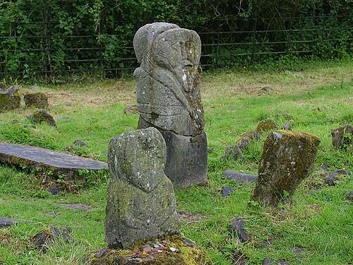 Boa IslandIsland · 1673 yd
 possible CHURCH SITE: KILL PARK in Ardshankillpossible CHURCH SITE: KILL PARK · 1.1 mi
 STONE FIGURES IN CALDRAGH GRAVEYARD: BOA ISLAND in DreenanSTONE FIGURES IN CALDRAGH GRAVEYARD: BOA ISLAND · 1.2 mi
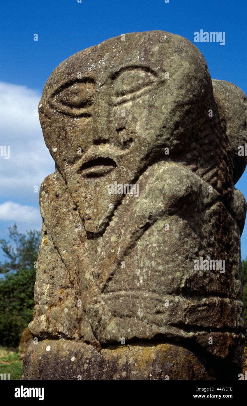 Boa Island FigureArchaeological place · 1.2 mi
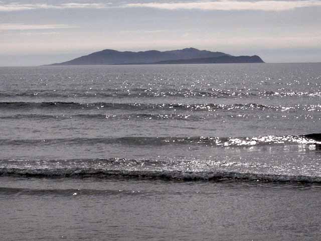 InishturkWood · 1.6 mi
 Muckross WoodWood · 2.0 mi
 Castle McGrathCastle · 2.3 mi
 Inishkeeragh BridgeBridge · 2.6 mi
 Derrin MountainMountain / peak · 2.9 mi