What is recorded here
On the W-facing slope of the Jerpoint Hill ridge about 1.3 km SSW of a destroyed portal tomb (KK032-009001-). The monument stands immediately E of an old trackway to the rear of the outbuildings of an abandoned farmstead and was converted for use as an animal pen. It comprises a polygonal chamber (Wth c. 2m), whose sides, with the exception of two transversely-set portal-like orthostats at the N, are composed of modern dry-stone walling. There are two orthostats (H c. 1m), the W stone leans outwards. There is a modern opening through the dry-walling on the W. The whole is covered by a roofstone (dims. 3.8m x 2.05m; T 0.55m), that rests on the orthostats and dry-stone walling. A field-wall abuts the tomb at the N and S. (Graves 1850, 130; Borlase 1897, vol. 2, 403, Knocktopher no. 2).
Compiled by: Paul Walsh
Date of upload: 10 May 2021
Portal dolmen; likely constructed during the Neolithic period (c. 4000–2500 BCE). Its location near a destroyed portal tomb suggests it may be part of a broader ritual landscape associated with early megalithic funerary practices in the region.
The monument record does not grant public access. Check the route and ask the landowner before entering private land.
- What survives
- Recorded monument
Places near here
 Castle ColumbCastle, tower house · 1672 yd
 Church in CastlecolumbChurch · 1683 yd
 Derrynahinch Church (in Ruins), Gr. YardChurch · 1699 yd
 Graveyard in DerrynahinchGraveyard · 1699 yd
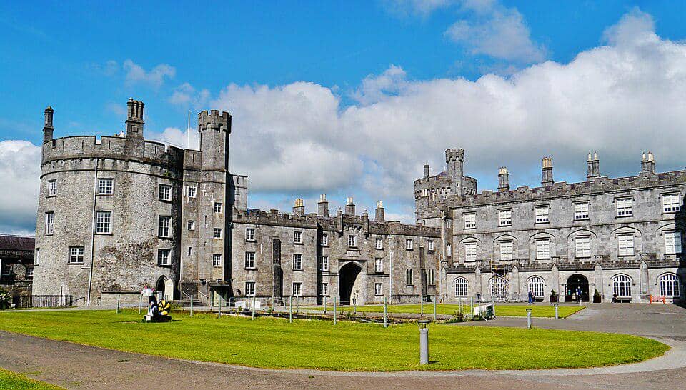 Enclosure in BaunskehaEnclosure · 1.2 mi
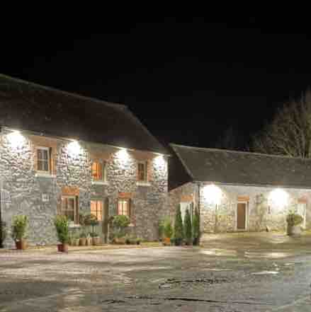 Enclosure in DanesrathEnclosure · 1.3 mi
 CastleCastle, unclassified · 1.5 mi
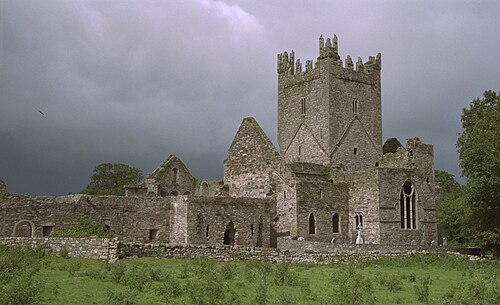 Jerpoint AbbeyHeritage attraction · 1.9 mi
 Holy WellSpring · 1.9 mi
 Turkey OakTurkey Oak · 2.0 mi
 Church (in Ruins), GraveyardChurch · 2.4 mi
 Fox CovertForest · 2.7 mi