What is recorded here
The following description is derived from both the published 'Archaeological Inventory of County Louth' (Dublin: Stationery Office, 1986) and the 'Archaeological Survey of County Louth' (Dublin: Stationery Office, 1991). In certain instances the entries have been revised and updated in the light of recent research.
Date of upload/revision: 17 July 2007
This tomb consists of the remains of a cairn, some 22m long, incorporating two ruined galleries with back stones set 2m apart. A stone fence crosses the middle of the SW gallery, runs along its N side, skirts the back of the NE gallery and then turns eastwards about 1.5m beyond the entrance to that gallery. There are no traces of a cairn to the W, N or E of this; the surviving portion, to the S of the wall, is up to 8m wide. The front of the SW gallery is represented by two entrance jambs with a flanking courtstone to the N. The gallery is 10.3m long and would seem to have been about 1.3m in average width. A pair of jambs 3.3m E of the back stone suggests a division of the gallery into three chambers of roughly equal length. The gallery sides are largely missing or concealed. Three stones at the NE represent the N side of the front chamber; to the S, two contiguous stones of the rear chamber survive and there are two more sidestones to the E of the segmenting jambs. The NE gallery is 4.4m long and averages 1.2m wide. It is divided into two chambers by a pair of jambs which flank a low sill, and a similar arrangement marks the entrance. The sides of the front chamber are each constructed of two stones, as apparently were those of the second, though only one stone survives on the S side. The chambers are more or less equal in length, with the rear chamber narrowing towards its slightly gabled back stone (PRIA (C) 1960, 128).
The monument record does not grant public access. Check the route and ask the landowner before entering private land.
- What survives
- Recorded monument
Places near here
 Enclosure in Commons (carlingford Par.)Enclosure · 265 yd
 IndicatedFairy fort / earthen ringfort · 323 yd
 BarnavaveMountain / peak · 817 yd
 Priory (in Ruins)Religious house, Knights Templars · 1210 yd
 Grange UpperMountain / peak · 1230 yd
 R.C. ChapelChurch · 1681 yd
 Carlingford - Loop 1A- Commons LoopWalking route · 1.0 mi
 Carlingford Heritage CentreVisitor information · 1.2 mi
 Graveyard in Liberties OF CarlingfordGraveyard · 1.2 mi
 Town GateHeritage attraction · 1.3 mi
 Carlingford Ogham StoneMemorial · 1.3 mi
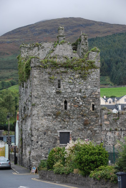 Taaffe's CastleCastle · 1.3 mi