What is recorded here
Some 50m E of a ringfort (GA005-091----). Locally believed to be a grave, it consists of a large rectangular boulder (L 3.3m, Wth 2.6m), its long axis running NE-SW. This is supported at S end by a smaller boulder set at right angles to it, and there is a possible sidestone (L 2.5m) on W side. A field wall overlies the monument at N.
The above description is derived from the published 'Archaeological Inventory of County Galway Vol. II - North Galway'. Compiled by Olive Alcock, Kathy de hÓra and Paul Gosling (Dublin: Stationery Office, 1999).
Date of upload: 05 August 2010
The monument record does not grant public access. Check the route and ask the landowner before entering private land.
- What survives
- Recorded monument
Places near here
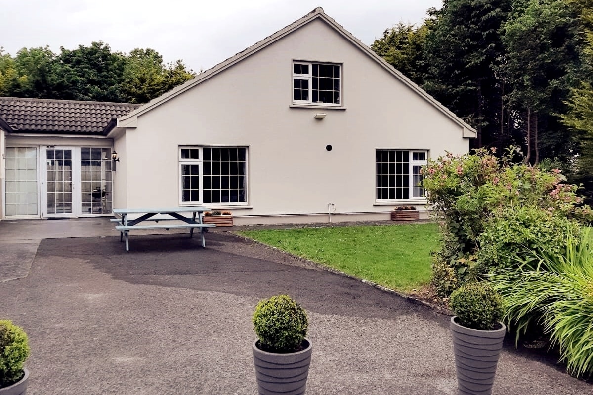 Enclosure in LissyconorEnclosure · 604 yd
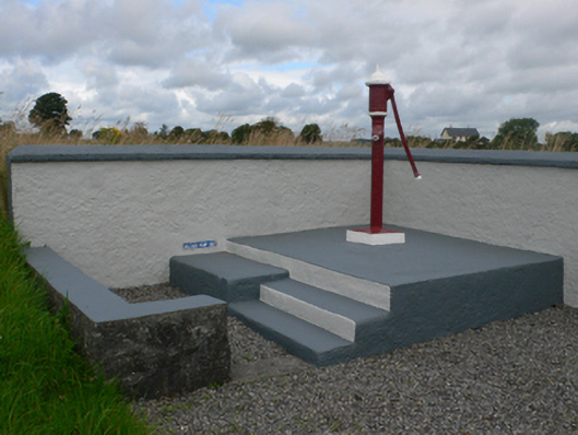 water pumpwater pump · 884 yd
 Quarry in CastleQuarry · 1089 yd
 Castle in ruinsCastle, unclassified · 1323 yd
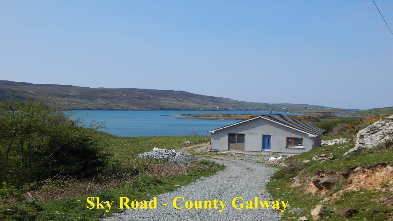 LissabrollaunFairy fort / earthen ringfort · 1.1 mi
 Slieve DartMountain / peak · 2.6 mi
 Dunmore CastleCastle · 3.8 mi
 Site of Killomaine Grave YardArchaeological place · 9.0 mi
 European ashEuropean ash · 12 mi
 Lacka Valeahaubar Br.Bridge · 1508 yd
 Catholic Church of Christ the Kingchurch/chapel · 1.1 mi
 Crucamaohalle FortFairy fort / earthen ringfort · 1.3 mi