What is recorded here
On a gentle W-facing slope in poor rush-covered pasture with reclaimed pasture immediately to the N; the area containing piles of cleared rocks and boulders, with some larger boulders left in situ. Low-lying marshy ground lies to the W with ‘Lough Hemush’, a very small lake, c. 100m to the WNW. Reported as a possible megalithic structure (SMR file). No visible surface trace of a megalithic structure was found at or near the reported location.
Date of visit: 13-8-2025
Compiled by: Gearóid Conroy
The monument record does not grant public access. Check the route and ask the landowner before entering private land.
- What survives
- Recorded monument
Places near here
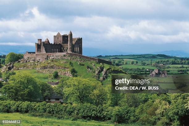 IndicatedFairy fort / earthen ringfort · 1.0 mi
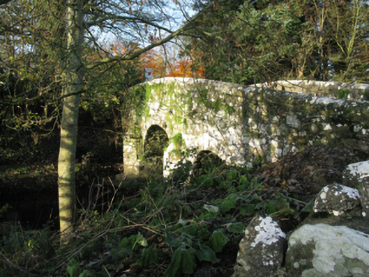 bridgebridge · 1.1 mi
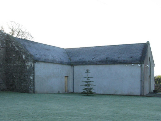 church/chapelchurch/chapel · 1.2 mi
 Enclosure in TreanybrogaunEnclosure · 1.3 mi
 Castle in RuinsCastle, unclassified · 1.4 mi
 Castle (in Ruins)Castle, motte · 1.4 mi
 Oak WoodWood · 3.1 mi
 National Museum of Ireland, Country LifeMuseum · 3.2 mi
 Sunken GardenWood · 3.4 mi
 Lough CullinViewpoint · 4.5 mi
 Admiral William BrownMemorial · 4.6 mi
 Foxford Woollen MillsHeritage attraction · 4.6 mi