What is recorded here
Clochar An Chuilinn holds a massive boulder tilted above bedrock at the north-western end of a low ridge, yet it defies standard monument categories because natural glacial force or human ambition may have shaped the same result. Peat cutting exposed the stones, revealing a flat portal-like entrance where smaller boulders support the great roofstone. The structure resists easy judgement, forcing witnesses to ask whether ancient hands raised the rock or indifferent ice simply broke the valley open.
Situated in an area of open moorland with extensive outcropping rock on the southern side of the valley of the Gweebarra River. This feature is located at the north-western end of a low ridge of outcropping rock in an area of cut-away bog and the remains appear to have been largely exposed in the process of peat cutting. The structure consists of a large boulder-type roofstone (3.2m by 3.7m and up to 1m thick), orientated approximately north–south, that slopes downwards from the north where it is supported by two smaller boulders that present a flat portal-like appearance. It rests on a further boulder at the southwest and by what appears be a number of courses of stones at the south which are enveloped in the peat at this end of the structure. The three supporting boulders sit directly on the bedrock which is exposed beneath the cover stone. The north-western edge of the cover stone appears to have been shattered artificially though it is impossible to be certain if this integral to the feature’s original condition. It is possible that this configuration of boulders is the result of natural glacial forces or it may well be a fortuitous arrangement of rocks. Morphologically, it does not conform to any known monument type and the extant remains are hardly sufficient to permit classification as a monument. It may well represent some effort at raising a boulder in the megalithic tradition and while interpretation as a megalithic structure is suggested, this is purely tentative and a proper elucidation of the monument must await further investigation.
DG058-005----_01.jpg: View of the 'front' end looking south.
DG058-005----_02.jpg: View of the western side of the structure showing the supporting boulder at the south-west.
Compiled by: Paul Walsh
Date of upload: 19 September 2014
The monument record does not grant public access. Check the route and ask the landowner before entering private land.
- What survives
- Recorded monument
Places near here
 St. Connells WellHoly well · 595 yd
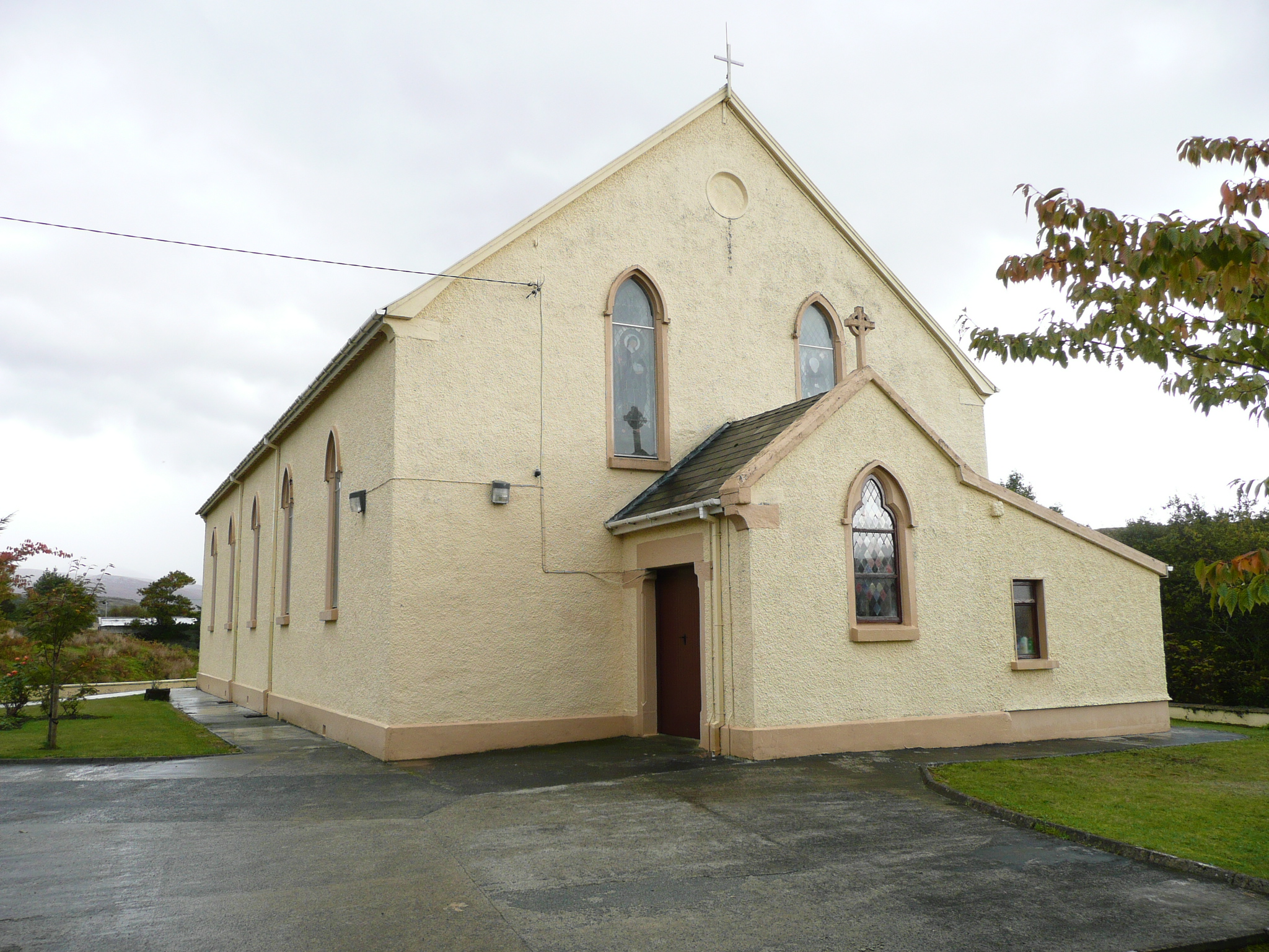 Saint Conal's Catholic Churchchurch/chapel · 1.1 mi
 Cairn, Coolvoy, DoocharyPublicly named cairn; age not proved by this picture · 1.3 mi
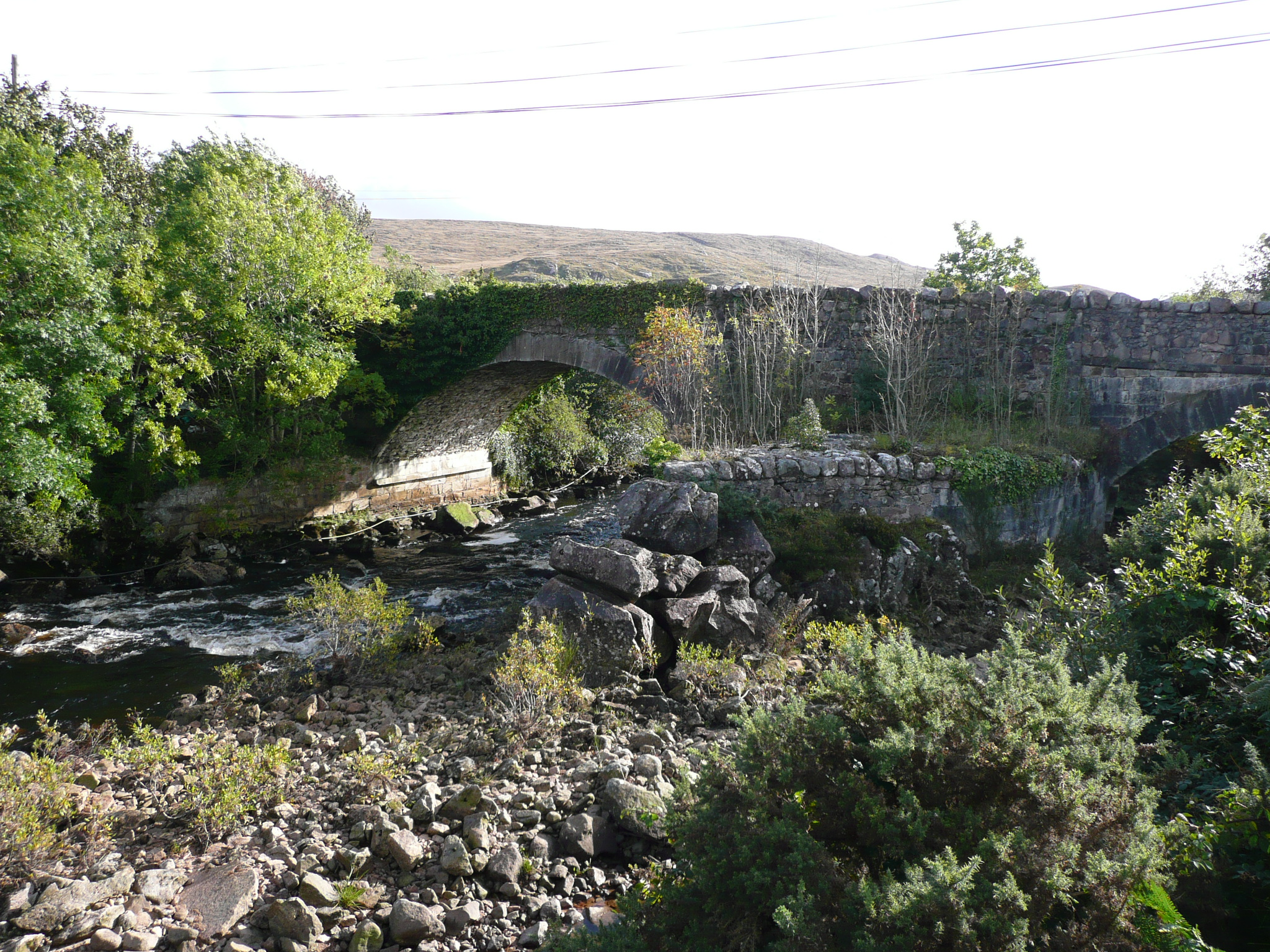 Doochary Bridgebridge · 1.3 mi
 Drumlaghdrid HillMountain / peak · 3.9 mi
 Meenachullion Nature ReserveNational nature reserve · 4.2 mi
 Aghla MountainMountain / peak · 4.3 mi
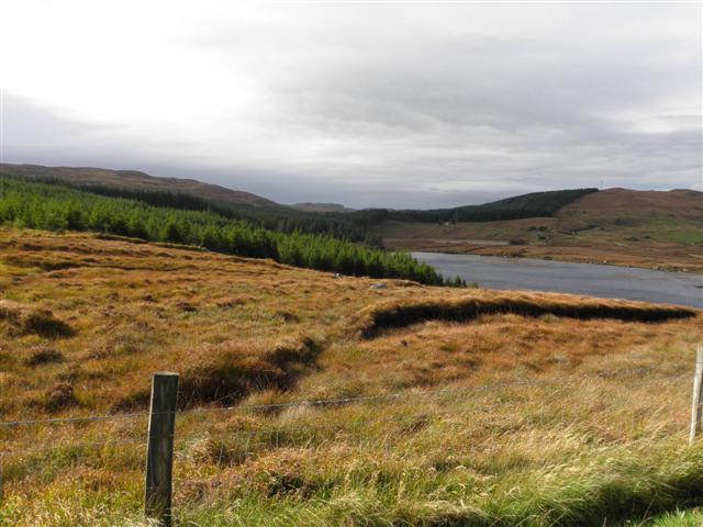 Derkmore Wood Nature ReserveNature reserve · 4.5 mi
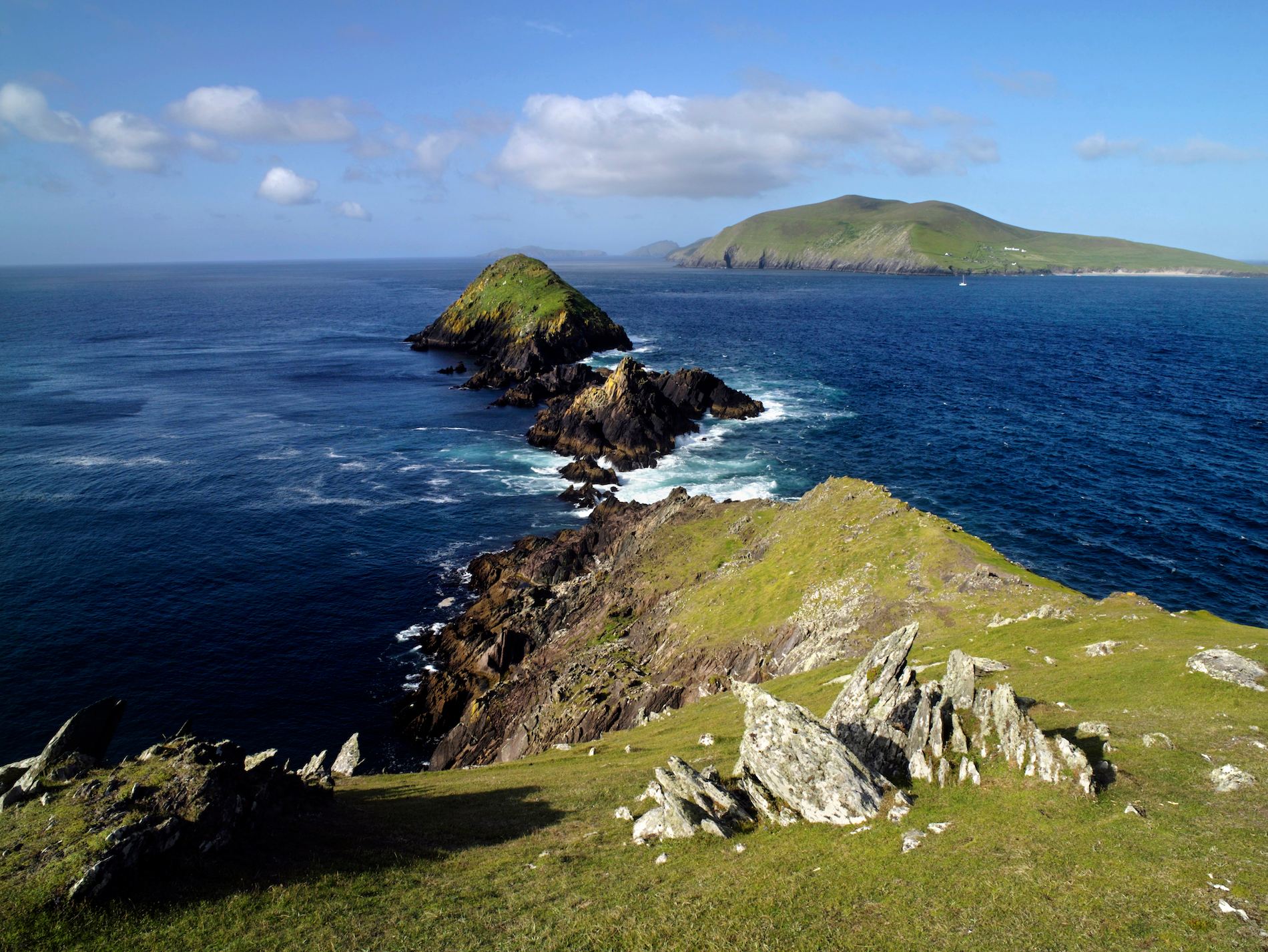 Brush IslandsIslet · 6.4 mi
 Crolly WaterfallWaterfall · 6.5 mi
 An tOileán DubhIslet · 6.5 mi
 DooeyOfficial bathing water · 6.8 mi