
What is recorded here
This site is located in the E corner of a field at the lower end of Gleann Mór. It consists of a large grass-grown mound of stones measuring 12.7m E-W x 12.5m N-S x a maximum of 1.5m in height. At its W edge is a feature resembling the megalithic graves at Coumduff (KE044-019----). A single upright slab on the S side and 2 on the N side define a rectangular area measuring .95 x 1.65m, and the large capstone has slipped off and now protrudes from the ground at an angle at the E side; the sidestones stand .45m high. Near the SE edge of the mound, a line of 4 flagstones, 3m long x 1.2m wide, are exposed on the surface, perhaps representing the roof of a chamber or Man-made underground passage. It is not possible to classify this site from a surface inspection alone.
The above description is derived from J. Cuppage, ‘Corca Dhuibhne. Dingle Peninsula archaeological survey. Ballyferriter. Oidhreacht Chorca Dhuibhne’ (1986), no. 1556. In certain instances the entries have been revised and updated in the light of recent research.
Date of upload: 5 August 2013
The monument record does not grant public access. Check the route and ask the landowner before entering private land.
- What survives
- Recorded monument
Places near here
 Enclosure in Baile An TeampaillEnclosure · 120 yd
 Dunquin Church (in ruins)Church · 250 yd
 Church in Gleann LoicChurch · 342 yd
 Man-made underground passage in Baile Na Rátha ThuaidhMan-made underground passage · 645 yd
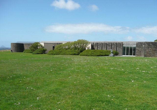 Ionad an Bhlascaoid MhóirMuseum · 1269 yd
 Mullach Charraige LéitheMountain / peak · 1675 yd
 Dún BinneHeadland · 1.0 mi
 Cruach MhárthainMountain / peak · 1.2 mi
 Faill BearnaiscCliff · 1.4 mi
 Tráigh ChloichirBeach / strand · 1.6 mi
 Traigh an ChomaBeach / strand · 1.9 mi
 Dunmore HeadViewpoint · 2.3 mi
Other information
Photo: Credit not shown in the picture search · Rights wording not checked; contact us if this picture should be removed