What is recorded here
This feature was shown as a circle of five dots on the OS 25-inch plan (surveyed 1910) immdiately south of the field boundary. It was named 'Megalithic Structure' on the 25-inch plan (revised 1940). The Name Book accompanying the 1940 revision (p. 201) states 'consists of four stones forming a half circle … '. It was not noted by Petrie and there is no visible trace of this feature. Its nature is uncertain it may well have been entirely natural.
See linked image (SL014-209059-_01.jpg) of OS 25-inch plan (1940 revision).
Compiled by: Eamon Cody and Paul Walsh
Date of upload: 10 September 2010
This remains an important historical record, but the official description says the monument is no longer visible or has been destroyed. The monument record does not grant public access. Check the route and ask the landowner before entering private land.
- What survives
- No visible remains or recorded as destroyed
Places near here
 CashelFairy fort / stone ringfort · 129 yd
 Carrowmore 32Archaeological place · 172 yd
 Carrowmore Visitors CentreVisitor information · 682 yd
 Carrowmore Megalithic CemeteryHeritage attraction · 804 yd
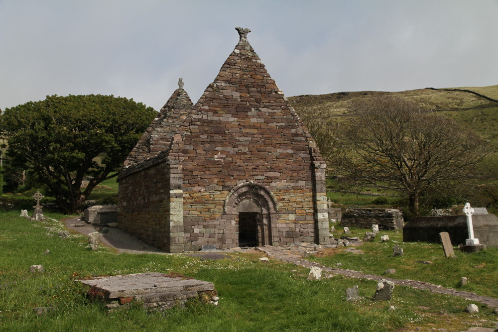 Kilmacowen Church (in Ruins)Church · 1568 yd
 Kiln in BreeogeKiln · 1.0 mi
 Castle (in Ruins)Castle, unclassified · 1.6 mi
 CarrigeenfaddaIslet · 1.9 mi
 Knocknarea trailWalking route · 2.1 mi
 St. John's CathedralMemorial · 2.4 mi
 Discover IrelandVisitor information · 2.6 mi
 CastleCastle, Anglo-Norman masonry castle · 2.6 mi