What is recorded here
Megalithic Monuments (Sites of) is a court tomb in Rathscanlan, County Sligo, Ireland. The dual structure contained two back-to-back galleries with chambers reaching 7.5m in length. It stood on rolling pasture near Tobercurry until destruction between 1914 and 1942.
The monument, destroyed sometime between 1914 and 1942, stood on rolling pasture about 1km SW of Tobercurry town. A sketch of the tomb by Wakeman (1878-82, drawing book 1, folio 109) and a plan by Wood-Martin (1886-7, 276; 1888, 214) show a dual court tomb, aligned more or less E-W, consisting of two two-chambered galleries set back to back and 3.8m apart. The western chamber was c. 5.5m long and the eastern c. 7.5m long. Two jambs stood at the entrance to both galleries and a single courtstone adjoined the southern of the two at the eastern gallery. Two sidestones on each side, the southern segmenting jamb and the backstone of the western gallery were then in place as were four sidestones to the S, one to the N, the northern segmenting jamb and the backstone of the eastern gallery. An OS 1:2500 field trace (1914) depicts two galleries aligned NE-SW within a roughly rectangular enclosure which seems to represent a mound (L 25m; Wth 15m). (Ó Nualláin 1989, 74-5, no. 118)
The above description is derived from the published 'Archaeological Inventory of County Sligo' compiled by Ursula Egan, Elizabeth Byrne, Mary Sleeman with Sheila Ronan and Connie Murphy (Dublin Stationery Office, 2005).
Date of upload: 18 January 2008
See linked document with details from Seán Ó Nualláin, Survey of the Megalithic Tombs of Ireland. Volume V. County Sligo. (Dublin: Stationery Office, 1989)
A Neolithic portal dolmen; significant as a megalithic tomb type associated with early ceremonial and burial practices in Ireland. Its destruction limits further study of its archaeological context.
The monument record does not grant public access. Check the route and ask the landowner before entering private land.
- What survives
- Recorded monument
Places near here
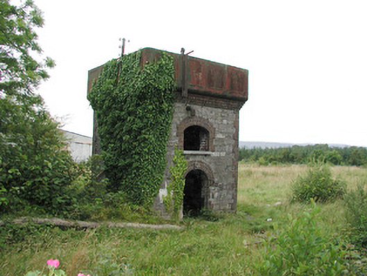 Tobercurry Railway Stationbuilding misc · 612 yd
 Rathscanlon FortArchaeological place · 762 yd
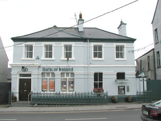 Bank of Irelandbank/financial institution · 802 yd
 Indicated (1838).Fairy fort / earthen ringfort · 812 yd
 Ballyara Castle (in Ruins)Castle, unclassified · 1637 yd
 Castle (Site of)Castle, unclassified · 2.5 mi
 Muckelty HillMountain / peak · 2.9 mi
 Old Cave Burial GroundArchaeological place · 4.6 mi
 Tawnyart WoodWood · 4.7 mi
 New WoodWood · 5.0 mi
 KnocknasheeMountain / peak · 5.6 mi
 Mass RockNamed rock · 6.2 mi