
What is recorded here
Late 17th-century Presbyterian Meeting House on the N side of Wood Street that is annotated 'P H M' on Rocque's 1756 map of Dublin where it is shown as a rectangular shaped building facing onto the N side of Wood Street on the corner plot of the junction with White Friar Street and White Friar Lane. 18th-century Methodist Meeting House (DU018-020164-) founded by John Wesley known as Whitefriar's Hall located to the E on the site of the medieval Carmelite Priory (DU018-0200149-). Shortly after the passing of the Irish Act of Uniformity in 1666/7, several Presbyterian ministers erected five meeting house in Dublin which included the building at Wood Street, the other four were located at Cook Street, New Row, Plunket Street and in Mary's Abbey. In 1762 the meeting-house on Wood Street was described as in 'a state of decay' and two years later in 1764 the congregation moved from Wood Street to a new meeting house that had been built on Strand Street (Anon. 1829, )
See attached section of Rocque's 1756 Map of Dublin showing the Methodist Meeting House and 1847 ed. OSi 6-inch map showing Whitefriar's Hall. "City of Dublin," held by Ordnance Survey Ireland. © Public domain. Digital content: © Ordnance Survey Ireland, published by UCD Library, University College Dublin <http://digital.ucd.ie/view/ucdlib:40863>
Compiled by: Geraldine Stout
Revised by: Caimin O'Brien
Date of revised upload: 13 December 2022
The monument record does not grant public access. Check the route and ask the landowner before entering private land.
- What survives
- Recorded monument
Places near here
 Church of Our Lady of Mount Carmelchurch/chapel · 68 yd
 Religious houseReligious house, Carmelite friars · 68 yd
 'French Peters' ChurchMemorial · 108 yd
 Gatehouse in Unknown TownlandGatehouse · 112 yd
 Ecclesiastical enclosure in Unknown TownlandEcclesiastical enclosure · 132 yd
 Thomas MooreMemorial · 163 yd
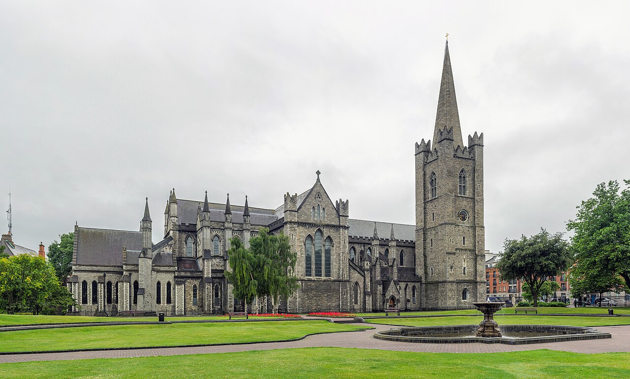 Saint Patrick's CathedralHeritage attraction · 292 yd
 Veronica GuerinHeritage attraction · 306 yd
 Battle of DublinMajor battlefield · 343 yd
 CastleCastle, Anglo-Norman masonry castle · 370 yd
 Medieval DublinVisitor information · 667 yd
 Bigleaf MapleBigleaf Maple · 929 yd
Other information
Photo: Credit not shown in the picture search · Rights wording not checked; contact us if this picture should be removed