What is recorded here
Ballyhalbert church and graveyard have marked the same County Down ground since medieval times, bridging into the modern day without breaking the line of prayer or burial. The site has absorbed centuries of local life, keeping dead and living tied to one place while the region changed around it. What is recorded is a continuous sacred anchor, not a discarded ruin, still present in the town and still shaping memory.
The official Northern Ireland record identifies this as MEDIEVAL (site of) & MODERN CHURCH & GRAVEYARD: BALLYHALBERT. Recorded period: MEDIEVAL; POST-MED; MODERN. The official map point was placed at the centre of the recorded archaeological site from the source map reference.
The monument record does not grant public access. Check the route and ask the landowner before entering private land.
- What survives
- Recorded monument
Places near here
 Windmill HillMountain / peak · 1158 yd
 Burr PointHeadland · 1652 yd
 Burial IslandIslet · 1.2 mi
 Glastry Presbyterian ChurchChurch · 1.3 mi
_-_geograph.org.uk_-_1509878.jpg?width=1280) Non-subscribing Presbyterian ChurchChurch · 1.4 mi
Non-subscribing Presbyterian ChurchChurch · 1.4 mi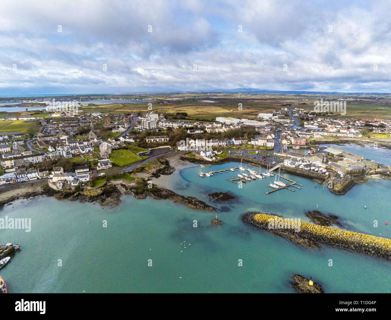 A.P. SITEA.P. SITE, ENCLOSURE · 1.6 mi
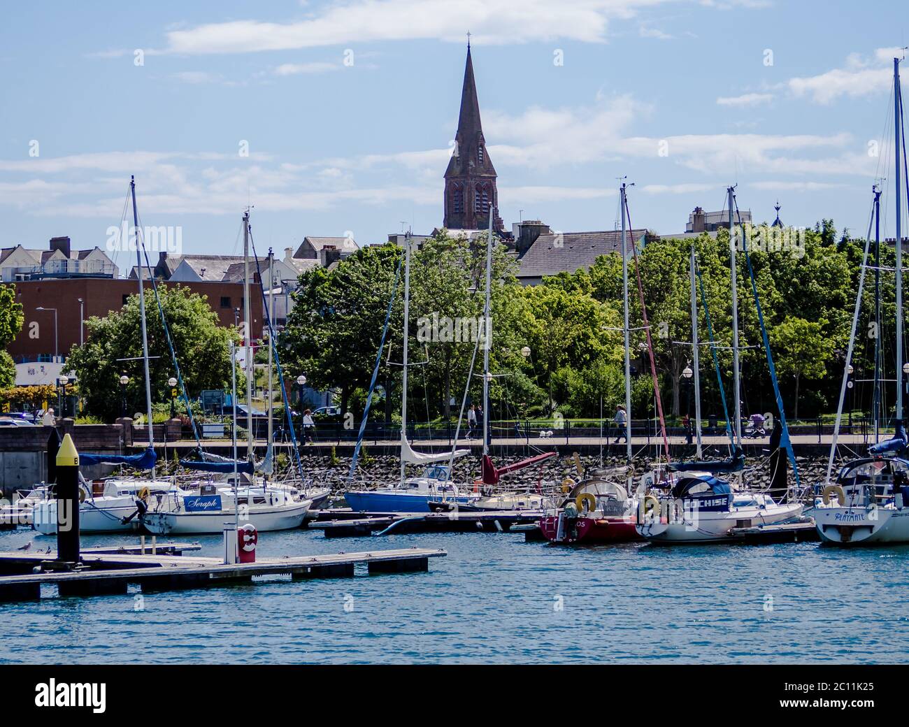 ENCLOSURE (see 018:025) in BallyesboroughENCLOSURE (see 018:025) · 1.9 mi
 The Echlinville DistilleryHeritage attraction · 2.7 mi
 PLANTATION HOUSE & BAWN in InishargyPLANTATION HOUSE & BAWN · 2.8 mi
 Kirkistown CastleCastle · 3.4 mi
 Monaghan BankMountain / peak · 3.4 mi
 Horse IslandIsland · 3.6 mi