What is recorded here
Melted pots and broken tools still mark the Ballyoran settlement, though no house wall remains to show where people lived. The median date comes from a coin dropped or lost during the late-medieval period, not from a dated beam or written event. That coin may have fallen from a working pocket, a trading table or a child's hand. The site preserves the chance of ordinary life rather than the certainty of a named household.
The official Northern Ireland record identifies this as MEDIEVAL SETTLEMENT SITE. Recorded period: MEDIEVAL; LATE-MED; UNCERTAIN. The official map point was placed at the centre of the recorded archaeological site from the source map reference.
The monument record does not grant public access. Check the route and ask the landowner before entering private land.
- What survives
- Recorded monument
Places near here
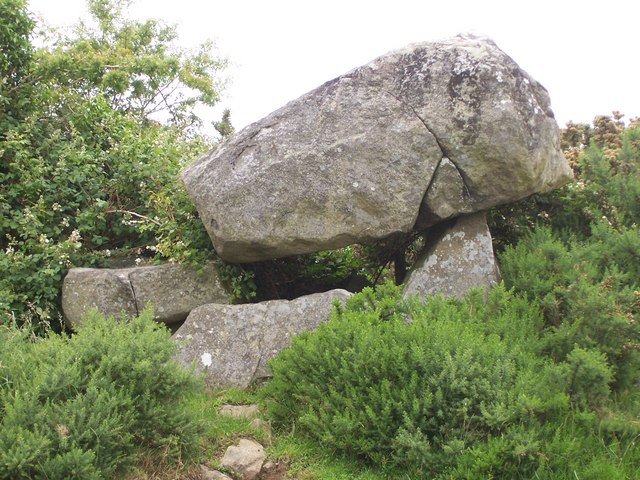 PORTAL TOMB: THE KEMPE STONES in GreengravesPORTAL TOMB: THE KEMPE STONES · 486 yd
 ENCLOSURE in BallylisbredanENCLOSURE · 525 yd
 Old MillShop · 1328 yd
_-_geograph.org.uk_-_3201578.jpg?width=1280) Presbyterian ChurchChurch · 1.5 mi
Presbyterian ChurchChurch · 1.5 mi CairngaverMountain / peak · 2.2 mi
 Kiltonga Nature ReserveNature reserve · 2.2 mi
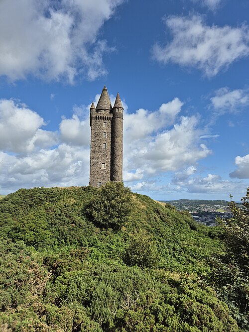 Scrabo TowerHeritage attraction · 2.2 mi
 Scrabo HillMountain / peak · 2.2 mi
 FORTIFICATION (site of): MOUNT ALEXANDER CASTLE in Mount AlexanderFORTIFICATION (site of): MOUNT ALEXANDER CASTLE · 2.4 mi
 Comber GreenwayWalking route · 2.4 mi
 Cairn WoodForest · 2.5 mi
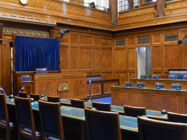 Assembly ChamberHeritage attraction · 2.8 mi