What is recorded here
Mud, marrow and memory still cling to the buried edge of County Fermanagh. A medieval life moved through that soil, leaving behind the shape of its own disappearance. To stand above the excavation is to touch the patience of forgotten hands.
The official Northern Ireland record identifies this as MEDIEVAL OCCUPATION SITE - EXCAVATION. Recorded period: MED/L.MED. The official map point was placed at the centre of the recorded archaeological site from the source map reference.
The monument record does not grant public access. Check the route and ask the landowner before entering private land.
- What survives
- Recorded monument
Places near here
 CROSS in DrumbrughasCROSS · 516 yd
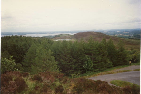 Annaghilly ForestForest · 1737 yd
 Derrynawilt ForestForest · 1.5 mi
 PLANTATION TOWER-HOUSE & BAWN (unlocated) in ShannockPLANTATION TOWER-HOUSE & BAWN (unlocated) · 1.8 mi
 mill (wind)mill (wind) · 1.9 mi
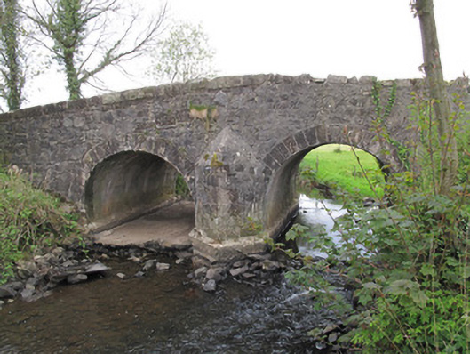 Bensons Bridgebridge · 2.0 mi
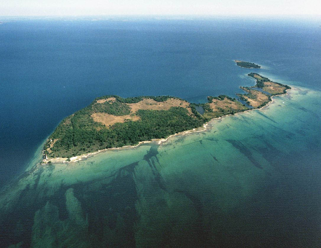 Duck IslandIslet · 2.1 mi
 Crannog in Tirnahinch FarCrannog · 2.2 mi
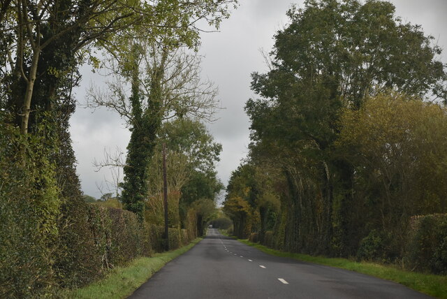 Mount DarbyMountain / peak · 2.4 mi
 Attack on Derryard checkpointterrorist attack · 2.6 mi
 EschleaghMountain / peak · 3.7 mi
 Jaundice WellSpring · 3.9 mi