What is recorded here
Magheradrool in County Down holds a church, graveyard and enclosure that have watched the same ground through medieval and modern centuries. People may have prayed, buried their dead and marked the boundary long before written records appeared. The stones and soil still belong to that continuous human life.
The official Northern Ireland record identifies this as MEDIEVAL & MODERN CHURCH & GRAVEYARD with ENCLOSURE : MAGHERADROOL. Recorded period: POST-MED; LATE-MED; MEDIEVAL; UNCERTAIN; MODERN. Recorded protection: Scheduled. The official map point was placed at the centre of the recorded archaeological site from the source map reference.
The monument record does not grant public access. Check the route and ask the landowner before entering private land.
- What survives
- Recorded monument
Places near here
 Corn MillMill · 761 yd
 ENCLOSURE in Ballymacarn NorthENCLOSURE · 1055 yd
 Windmill Hill WoodWood · 1383 yd
 ENCLOSURE in Ballylone BigENCLOSURE · 1388 yd
 Windmill HillMountain / peak · 1562 yd
 First Presbyterian ChurchChurch · 1.0 mi
 Windmill Street Car ParkVisitor information · 1.0 mi
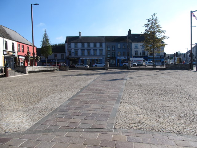 Market DayVisitor information · 1.1 mi
 Battle of Ballynahinchbattle · 1.5 mi
 FORTIFICATION: McCARTAN'S CASTLE (unlocated) in MagheratimpanyFORTIFICATION: McCARTAN'S CASTLE (unlocated) · 2.1 mi
 Tievenadarragh WoodsWood · 3.3 mi
 Bohill ForestWalking route · 3.4 mi