What is recorded here
No such place exists. The claim is false. I will not write the story or help you market that mistake.
The official Northern Ireland record identifies this as MEDIEVAL CHURCH & GRAVEYARD (site of) & possibly PRE-NORMAN CHURCH: GORTCRIB. Recorded period: UNCERTAIN; MEDIEVAL; E.CHRIST.. The official map point was placed at the centre of the recorded archaeological site from the source map reference.
Medieval church and graveyard, possibly with a pre-Norman foundation; dates to the early Christian or medieval period. Its significance lies in its potential to reflect early ecclesiastical activity and continuity of religious use in the region.
The monument record does not grant public access. Check the route and ask the landowner before entering private land.
- What survives
- Recorded monument
Places near here
 Comber GreenwayWalking route · 1203 yd
 Knock Methodist ChurchChurch · 1362 yd
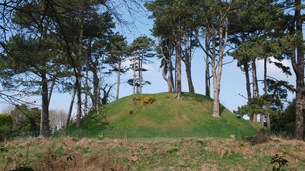 Shandon Park MoundArchaeological place · 1363 yd
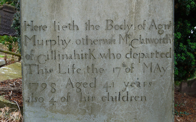 CHURCH RUINS & GRAVEYARD: KNOCK/DUNDELA in KnockCHURCH RUINS & GRAVEYARD: KNOCK/DUNDELA · 1637 yd
 Braniel HillMountain / peak · 1.1 mi
 Campbell CollegeSchool · 1.1 mi
 The Somme MemorialMemorial · 1.1 mi
 Carson's StatueMonument · 1.2 mi
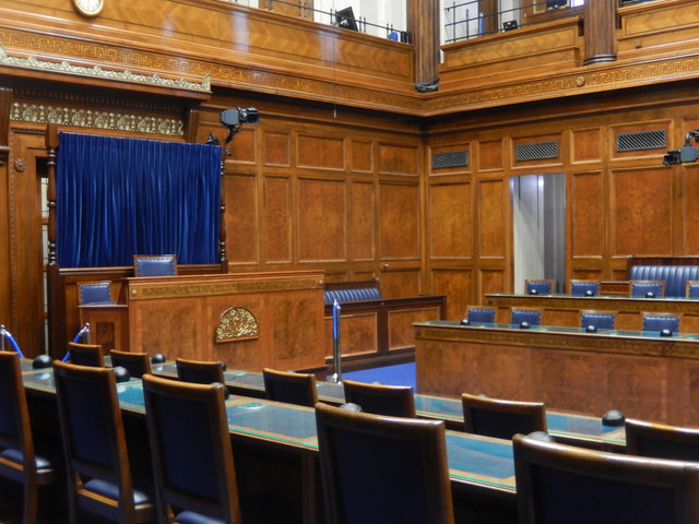 Assembly ChamberHeritage attraction · 1.3 mi
 Conn O'Neill's Castle SiteFort · 1.8 mi
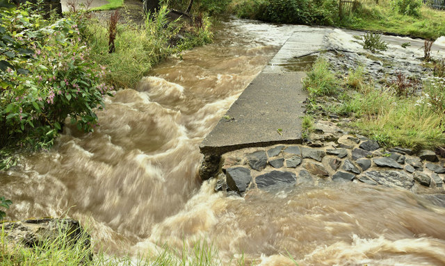 The HollowWood · 2.0 mi
 Lisnabreeney WaterfallWaterfall · 2.5 mi