What is recorded here
Maughery Church stood in County Armagh during the late medieval period, serving as a worship and burial place before disappearing from ordinary sight. The graveyard marker preserves the shape of that lost building, while the absence of the structure invites imagination about the people who prayed, buried their dead and stopped coming. What remains is a quiet gap in the landscape, holding more memory than wood, stone or mortar.
The official Northern Ireland record identifies this as MEDIEVAL CHURCH & GRAVEYARD (site of): MAUGHERY CHURCH. Recorded period: UNCERTAIN; POST-MED; LATE-MED. The official map point was placed at the centre of the recorded archaeological site from the source map reference.
Medieval ecclesiastical site, likely 12th to 16th century. Significance lies in its role as a place of worship and burial, reflecting the religious and social history of the local community during the medieval period.
The monument record does not grant public access. Check the route and ask the landowner before entering private land.
- What survives
- Recorded monument
Places near here
 Millennium MilepostVisitor information · 318 yd
 Coney IslandIslet · 1584 yd
 ENCLOSURE (rath?) & possible Man-made underground passage: MOUNT HALL in ClonmakateENCLOSURE (rath?) & possible Man-made underground passage: MOUNT HALL · 1.8 mi
 Lake Walk (Derryadd)Walking route · 1.9 mi
 Washing BayBay · 2.0 mi
 FINDSPOT of RING & possible ENCLOSURE in AughamullanFINDSPOT of RING & possible ENCLOSURE · 2.2 mi
 Masonic HallHall · 3.5 mi
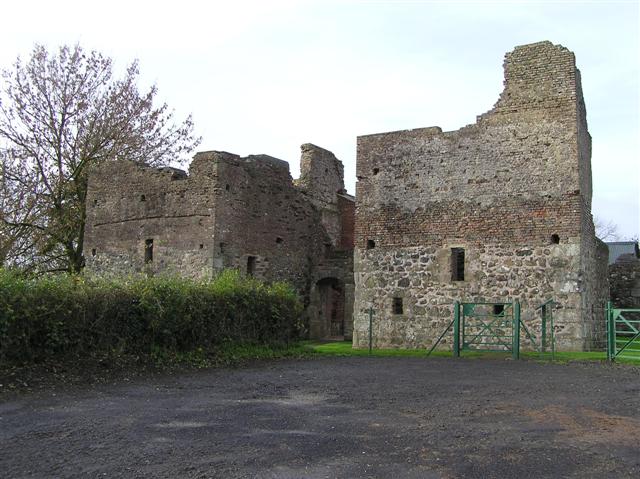 C17th CAMPAIGN FORT: MOUNTJOY CASTLE in Magheralamfield, MountjoyC17th CAMPAIGN FORT: MOUNTJOY CASTLE · 3.5 mi
 Mountjoy CastleRuins · 3.5 mi
 Drumcrow ASSINature reserve · 3.5 mi
 Belville HouseHouse · 3.8 mi
 Clonoe ambushterrorist attack · 4.6 mi