What is recorded here
Medieval Boundary in Ballyaghagan marks a medieval boundary in County Antrim, Ireland. Whether it separated fields, townlands or claims is no longer certain. A line drawn by human hands has faded into grass and memory, yet the place still carries the shape of that old division.
The official Northern Ireland record identifies this as Medieval Boundary. Recorded period: E.C./MED; E.CHRIST.. The official map point was placed at the centre of the recorded archaeological site from the source map reference.
The monument record does not grant public access. Check the route and ask the landowner before entering private land.
- What survives
- Recorded monument
Places near here
 Cave Hill TrailWalking route · 325 yd
 KIDNEY-SHAPED ENCLOSURE in BallyaghaganKIDNEY-SHAPED ENCLOSURE · 484 yd
 PROMONTORY FORT: McART'S FORT in BallyaghaganPROMONTORY FORT: McART'S FORT · 501 yd
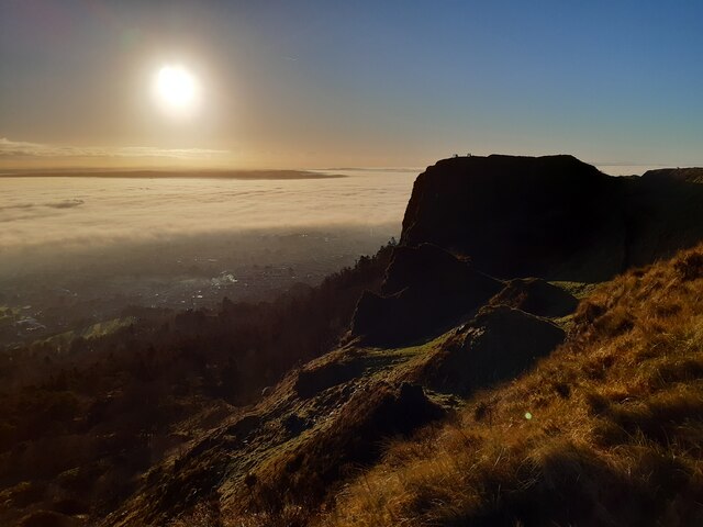 McArt's FortMountain / peak · 518 yd
 CavehillMountain / peak · 554 yd
 Limestone QuarryCliff · 574 yd
 Belfast Castle Estate TrailWalking route · 597 yd
 Belfast CastleHeritage attraction · 709 yd
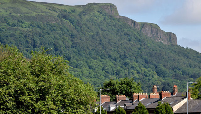 Cave HillCliff · 771 yd
 Cave Hill CaveCave · 852 yd
 Bellevue Area of Special Scientific InterestCliff · 1.1 mi
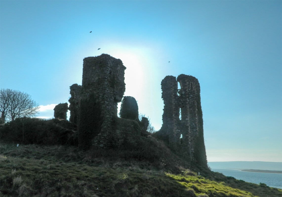 TOWER-HOUSE: GREENCASTLE, GREENCASTLE, CLOUGHCASTELLA, CLOUGHCASTELLA, CLOCHMESTALE in GreencastleTOWER-HOUSE: GREENCASTLE, GREENCASTLE, CLOUGHCASTELLA, CLOUGHCASTELLA, CLOCHMESTALE · 1.2 mi