
What is recorded here
Letirmiccrohan is a flat, mossy mound on the lower slopes of Bentee mountain, marked only by a faint bank and a wide ditch that once directed water from a nearby stream. Cnogher MacCroghon occupied the castle in 1656 before Alexander Eagers received the confiscated land in 1667, yet the building itself disappeared so completely that later farmers may have taken its stones for ordinary houses. The mound still rises above the uneven ground, preserving the shape of a room or hall although no wall, roof or doorway remains for a visitor to touch.
Mac Crehin's Castle: Apart from its enclosing earthwork there are no visible remains of this castle, which was located on the lower S slopes of Bentee mountain. It is associated with the MacCrohan branch of the O'Sullivan Mores (Smith 1756, 107), and is referred to as 'Letirmiccrohan' in RIA MS 24 K 43. Occupied by one Cnogher MacCroghon in 1656 (King 1931, 223), it was confiscated and granted to Alexander Eagers in 1667 (King 1909, 169). No trace of the castle survived in 1841 (OSL), and Delap recorded that it had been demolished to build adjoining farm houses (1910b, 227)
The surviving remains at the site of the castle consist of a low rectangular platform, 30m N-S x 32m E-W internally, which is defined by a bank and an external fosse at N, E and W. The bank is poorly preserved and survives best at N where it is .5m high and 2.25m in width. Here the fosse, which is U-shaped in profile, averages 7m in width and 1.35m in depth. At E and W the bank and fosse are less well-defined. A low causeway, 5.5m wide, interrupts the fosse midway along its slightly curving E side and may indicate the location of the original entrance to the earthwork. A deeply channelled stream skirts this feature at E, and may have been bridged at this point. Slight traces of a channel which may have served to direct water from the stream into the fosse are visible extending from the latter's midpoint at N.
The interior of the site is uneven and is raised slightly above external ground level. A slight hollow of subrectangular shape, 18m N-S x 16m E-W, occurs in the NW quadrant and is enclosed by a low bank, 3m in average width. In the SE quadrant is a large, sod-covered, subrectangular mound, 13.3m E-W x 12.7m N-S, which may represent the location of the castle. Raised 1.4m above internal ground level, its flat upper surface measures 8m E-W x 7.2m N-S.
The above description is derived from A. O'Sullivan and J. Sheehan (compilers), 'The Iveragh peninsula: an archaeological survey of South Kerry'. Cork University Press (1996), no. 1114. In certain instances the entries have been revised and updated in the light of recent research.
Date of upload: 31 July 2013
The site of Mac Crehin's Castle was held by the MacCrohan branch of the O'Sullivan clan, likely during the late medieval period. It is remembered for its association with the prominent O'Sullivan family, a key Gaelic lineage in southwest Ireland.
This remains an important historical record, but the official description says the monument is no longer visible or has been destroyed. The monument record does not grant public access. Check the route and ask the landowner before entering private land.
- What survives
- No visible remains or recorded as destroyed
Places near here
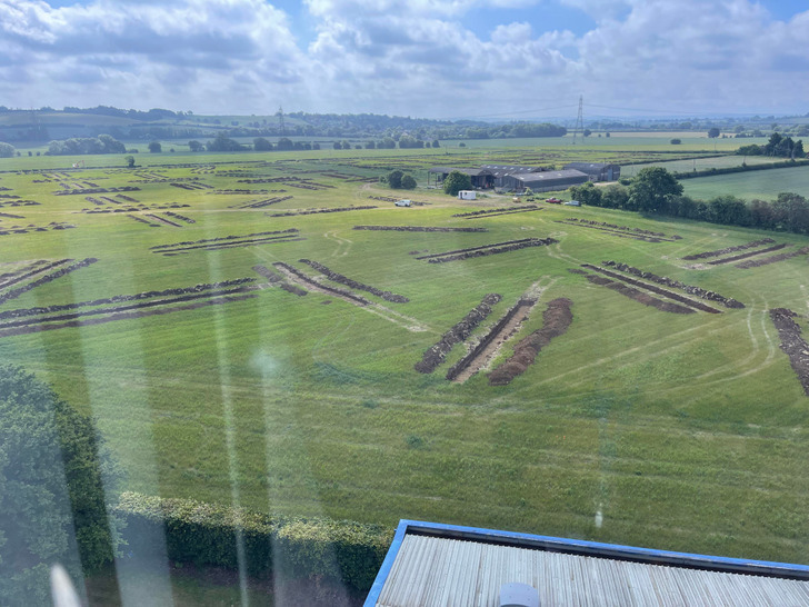 Cultivation ridges in Letter (iraghticonnor By.)Cultivation ridges · 320 yd
 Ecclesiastical enclosure in Letter (iveragh By.)Ecclesiastical enclosure · 400 yd
 Laharn Bog LoopWalking route · 990 yd
 BenteeMountain / peak · 1131 yd
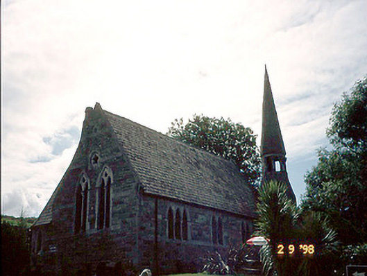 church/chapelchurch/chapel · 1.5 mi
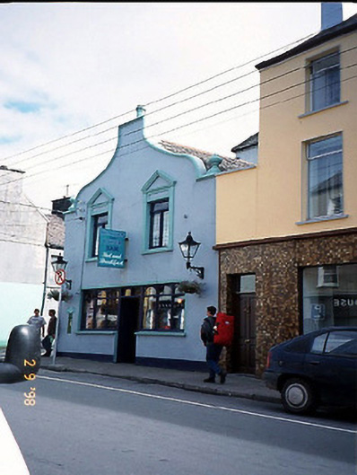 Corner Househouse · 1.5 mi
 Foughil IslandIslet · 1.9 mi
 OutlinedBawn · 2.4 mi
 Ballycarbery CastleRuins · 2.4 mi
 Ballycarbery Castle (in ruins)Castle, hall-house · 2.4 mi
 FoilcloghMountain / peak · 2.6 mi
 White Strand BeachBeach / strand · 2.7 mi
Other information
Photo: Credit not shown in the picture search · Rights wording not checked; contact us if this picture should be removed