What is recorded here
Situated on a NE-facing slope on the NE-SW spine of Carrickbyrne Hill, and accessed from the NW-SE road to the NE by a gap (Wth c. 1.2m) between upright stones (dims. 0.6m x 0.1-0.3m; H 1.05m). A shelf of rock-outcrop (L 4.3m NW-SE; H 0.6-0.8m) c. 30m from the road has an oval hollow (dims 1m x 0.6m; D 0.1m) that was known locally as a mass-rock. The area had been overgrown until 2000 AD when the owner and others cleared it(http://www.newbawnns.info/ringsofred/churches.htm accessed on 30-10-2012), and a granite cross (H 0.9m; Wth 0.7m; T 0.15m at the base to 1cm at the top), crudely designed as arcs connecting the extremities (Wth 0.17-0.21m), was discovered c. 5m to the SW. Mass is said annually at the mass-rock around the August holiday week-end.
A building at the roadside, regarded locally as a hege-school, was conserved at the same time. This is a two-room structure (int. dims 9.85m NW-SE; 2.8m NE-SW) defined by low, clay-bonded walls (T 0.55m; H 0.6m), with an entrance (Wth 0.5m) at the S end of the NE wall marked by upright stones (dims. 0.45m x 0.1m; H 1.05-1.15m). An internal wall divides it into two rooms of almost equal size with a gap (Wth 0.6m) against the NE wall. There is no evidence of a fireplace.
Compiled by: Michael Moore
Date of upload: 31 October, 2012
The monument record does not grant public access. Check the route and ask the landowner before entering private land.
- What survives
- Recorded monument
Places near here
 Cross in RaheenaclonaghCross · 4 yd
 hedge schoolRuins · 23 yd
 Carrickbyrne HillMountain / peak · 823 yd
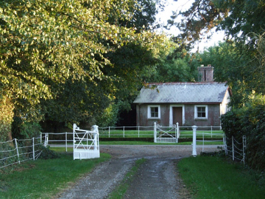 Raheen Housegate lodge · 967 yd
 ToherpatrickHoly well · 1498 yd
 Castle in ruinsCastle, tower house · 1756 yd
 Glenour MonumentMemorial · 2.4 mi
 Old Ross MoteCastle, motte and bailey · 2.8 mi
 Carrickmastia HillMountain / peak · 2.8 mi
 Forest Of The DunbrodyForest · 5.0 mi
 Coolcliffe HouseRuins · 5.8 mi
 Carrig-On-BannowVisitor information · 9.7 mi