What is recorded here
Crusheen holds a rough limestone boulder near a modern quarry and new houses. Local story claims people once said it marked a hidden mass place, though no human name or date remains attached to that memory. The rock itself still stands with moss on its edges and a sloping top, waiting for the lost tale to return.
Towards the top of the outer E-facing scarp of an enclosure (CL018-053----) truncated by a quarry immediately to the S in an area with houses under construction. This is a very rough limestone boulder (1.18m N-S; 0.4-0.7m E-W; H 1m) with some lichen and moss and there are two other slightly smaller examples towards the NE of the enclosure. All surfaces including the top are very uneven and the top slopes to the S. Referred to by Tobin (2017, 11 and plates 19-20) as being placed this may be a naturally occurring outcrop. Tobin (ibid.) refers to an associated tradition of its being used as a mass-rock but the source of the tradition is not cited.
The following images have been uploaded:
CL018-110----_01.jpg From E. View of main front face of boulder.
CL018-110----_02.jpg From N. View of boulder in its setting on the scarp.
Compiled by: Mary Tunney
Date of upload: 17 April 2019
The monument record does not grant public access. Check the route and ask the landowner before entering private land.
- What survives
- Recorded monument
Places near here
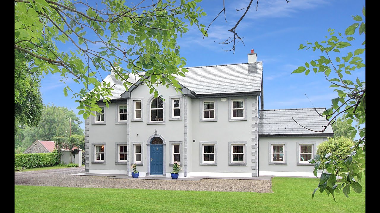 Enclosure in CrusheenEnclosure · 16 yd
 Mulkere MemorialMemorial · 161 yd
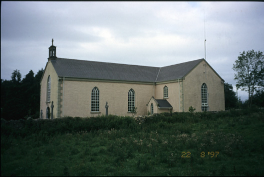 Saint Cronan's Catholic Churchchurch/chapel · 364 yd
 Mass-rock in CaheraphucaMass-rock · 600 yd
 Castle (in ruins)Castle, unclassified · 1559 yd
 Abbey (in ruins)Religious house, Augustinian canons · 1.6 mi
 Bawn in Castlequarter (inchiquin By.)Bawn · 1.8 mi
 Derrymore WoodWood · 2.7 mi
 Dromore WoodWood · 3.1 mi
 Battle of TullyodeaBattlefield · 4.8 mi
 Mullagh MoreMountain / peak · 6.3 mi
 Slieve RoeMountain / peak · 6.5 mi