What is recorded here
In rough hill pasture on bog, on a N-facing slope overlooking Coulagh Bay. According to local information, this natural earth-fast boulder (2.6m NW-SE; 2.2m NE-SW; H 0.8m), which is roughly rectangular in plan, was used as a mass-rock. The SE half of the boulder slopes gently downwards to the relatively flat surface of the NW half.
The above description is derived from 'The Archaeological Inventory of County Cork. Volume 5' (Dublin: Stationery Office, 2009).
Date of upload: 22 December 2009
as a mass-rock during the period of Catholic persecution in Ireland, when secret Masses were celebrated in remote locations to avoid detection by authorities. The site reflects the resilience of religious practice and the importance of hidden worship in Irish Catholic tradition.
The monument record does not grant public access. Check the route and ask the landowner before entering private land.
- What survives
- Recorded monument
Places near here
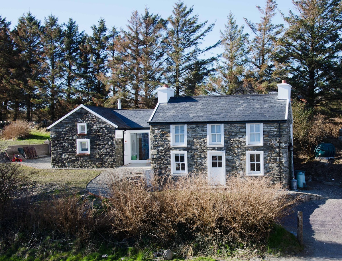 Hut site in CaherkeenHut site · 369 yd
 Field boundary in CaherkeenField boundary · 382 yd
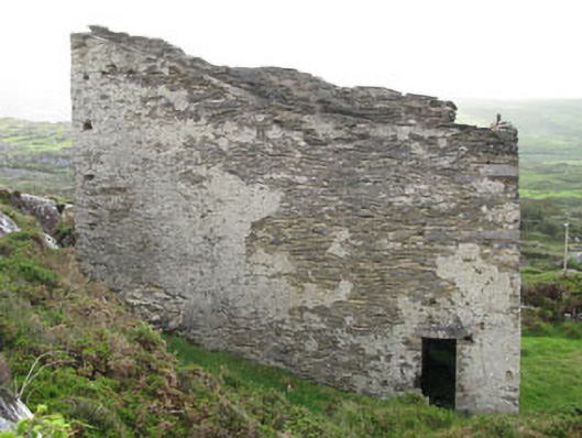 magazinemagazine · 1356 yd
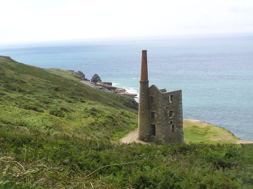 Mine engine house in CaminchesMine engine house · 1377 yd
 KnocknagallaunMountain / peak · 1.1 mi
 Mass RockVisitor information · 1.2 mi
 Caherkeen Mass RockHeritage attraction · 1.3 mi
 KnockgourMountain / peak · 1.5 mi
 DooneenViewpoint · 1.5 mi
 Allihies Copper Mine MuseumMuseum · 1.6 mi
 Blue IslandsIslet · 1.8 mi
 Ballydonegan StrandBeach / strand · 2.3 mi