What is recorded here
Martello Tower stands on the highest point of Garinish island, its thick circular walls built to resist invasion and its roof fitted with a central iron pivot for a heavy gun. It joins an older rectangular stone enclosure through a later wall marked 1815, suggesting the site has watched the sea in layers rather than appearing all at once. The spiral stairs, splayed windows and high parapet still shape a small violent world above the water, where a gun could swing and a keeper could judge distance in a moment.
On high point of Garinish island. Circular tower (int. diam. 6.1m; wall thickness 2.46m). Ground floor infilled. First floor: door in wall to E; splayed window opes in wall to NE, SE and W; fireplace in wall to S. Brick-vaulted roof. Spiral stone stairs in wall to N providing access to roof level. Paved roof area enclosed by high parapet wall, wall walk with guncarriage track. Central iron gun pivot. Remains of earlier sub-rectangular enclosure (int. 24m E-W; 8.5m N-S) to E enclosed by substantial stone wall (H c. 6m; wall thickness 3.3m) with remains of wall walk. Wall on W side of enclosure replaced by later wall (H 3.6m; wall thickness 0.85m) with date plaque (1815) over arched doorway. This section of wall connects Martello tower to earlier enclosure.
The above description is derived from the published 'Archaeological Inventory of County Cork. Volume 1: West Cork' (Dublin: Stationery Office, 1992). In certain instances the entries have been revised and updated in the light of recent research.
Date of upload/revision: 14 January 2009
The monument record does not grant public access. Check the route and ask the landowner before entering private land.
- What survives
- Recorded monument
Places near here
 Martello Towermartello tower · 1 yd
 Enclosure in Garinish (bear By., Kilcaskan Par.)Enclosure · 38 yd
 Garnish IslandIsland · 81 yd
 IlnacullinIsland · 90 yd
 GarinishIsland · 96 yd
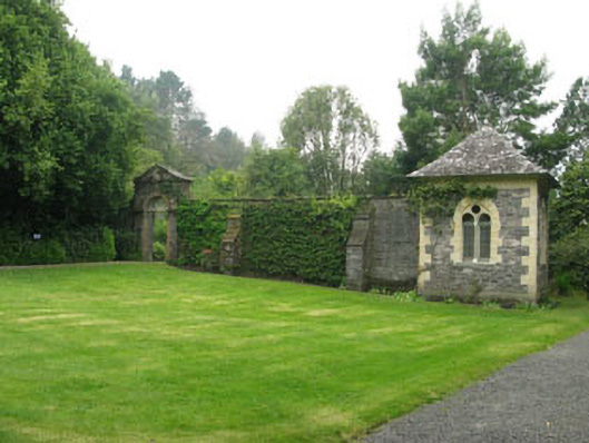 walled gardenwalled garden · 100 yd
 Bryce HouseMuseum · 187 yd
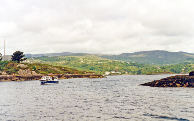 Glengarriff BayBay · 1352 yd
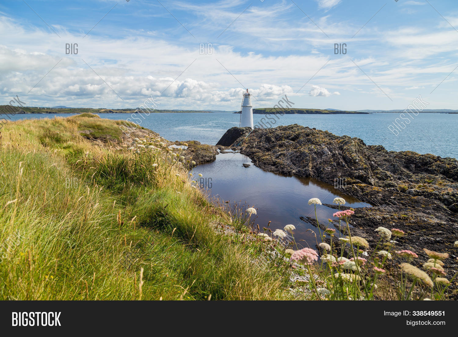 Big PointHeadland · 1492 yd
 Graveyard in CappyaughnaGraveyard · 1.1 mi
 Tasmanian bluegumTasmanian bluegum · 1.1 mi
 Burial Gd (Disused)Burial ground · 1.2 mi