
What is recorded here
Situated on the floor of the W-E Bride river valley, c. 1km S of the river. Sir Richard Boyle, the first Earl of Cork, developed Tallow, which was incorporated as a borough in 1613. According to a contemporary document he built a market-house, which may have incorporated the courthouse and prison that the same document also ascribes to him (Ryland 1824, 342). The market house and jail are also ascribed to the Earl by Smith (1746, 40), and the market house is marked in the centre of Convent St. opposite West St. on a map by Richard Scalé (NLI: ms. 7218, 1), dated 1774. Archaeological monitoring (08N0240) of the route of a sewage pipe uncovered part of the W wall of the building in the Square (McCarthy 2008).
Compiled by: Michael Moore
Date of upload: 23 February, 2012
The monument record does not grant public access. Check the route and ask the landowner before entering private land.
- What survives
- Recorded monument
Places near here
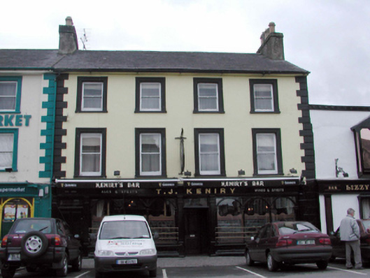 T.J. Keniryhouse · 18 yd
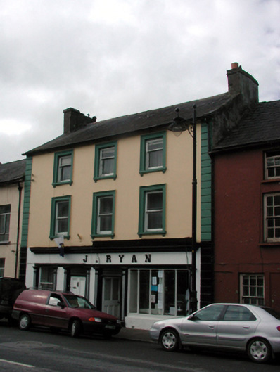 J. Ryanhouse · 29 yd
 Lisfinny CastleCastle · 1189 yd
 CastleCastle, unclassified · 1669 yd
 Tallow HillMountain / peak · 1.3 mi
 Settlement desertedSettlement deserted, medieval · 1.6 mi
 Enclosure in GlasshouseEnclosure · 1.6 mi
 Graveyard in Curraheen (kinnatalloon By.)Graveyard · 3.3 mi
 Bishopstown WoodForest · 3.5 mi
 Castlebrook forestWood · 3.8 mi
 Lismore Castlefarm house · 4.3 mi
 Ballysaggartmore TowersHeritage attraction · 4.4 mi
Other information
Photo: Credit not shown in the picture search · Rights wording not checked; contact us if this picture should be removed