What is recorded here
Mapped graveyard is a graveyard in County Armagh, Ireland. Perhaps the dead lie beneath soil so thin the living forget to bury them twice. Maybe a cartographer marked the graves but never asked whose hands dug the holes. Imagine walking past rows of unnamed stones while the county holds its breath.
Mapped graveyard is a graveyard in County Armagh, Ireland.
Places near here
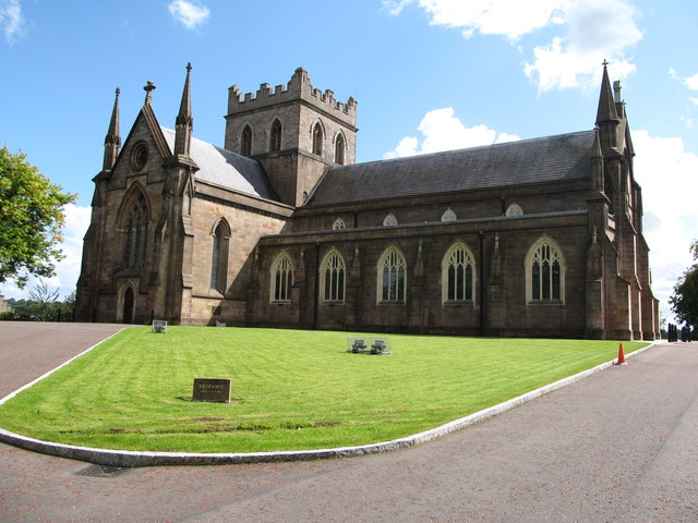 CHURCH: THE TOI; CHURCH OF THE ELECTIONS in ArmaghCHURCH: THE TOI; CHURCH OF THE ELECTIONS · 33 yd
 MULTIPERIOD CHURCH SITE & GRAVEYARD with ROUND TOWER, BIVALLATE ENCLOSURE & LIBRARY, now CATHEDRAL: CHURCH of the ELECTIONS, ST. PATRICK'S CATHEDRAL in CorporationMULTIPERIOD CHURCH SITE & GRAVEYARD with ROUND TOWER, BIVALLATE ENCLOSURE & LIBRARY, now CATHEDRAL: CHURCH of the ELECTIONS, ST. PATRICK'S CATHEDRAL · 35 yd
 No 5 Vicars' HillMuseum · 82 yd
 Public LibraryLibrary · 143 yd
 Abbey StreetVisitor information · 247 yd
 Battle of ClontibretMajor battlefield · 272 yd
 Crimean CannonMemorial · 434 yd
 Boer War memorialMemorial · 435 yd
 Armagh FriaryArchaeological place · 444 yd
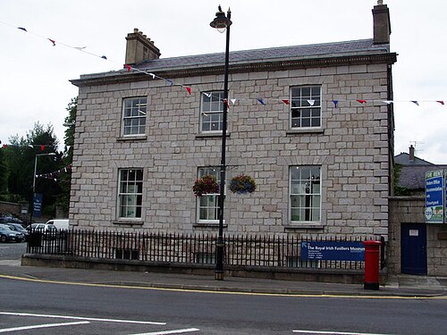 Royal Irish Fusiliers MuseumMuseum · 493 yd
 Battle of the Yellow FordMajor battlefield · 542 yd
 Cannon HillViewpoint · 3.4 mi