What is recorded here
On a S-facing slope, to E of Tobercurry, in an area overgrown with bushes. The entrance to this Man-made underground passage was not located.
The above description is derived from the published 'Archaeological Inventory of County Sligo' compiled by Ursula Egan, Elizabeth Byrne, Mary Sleeman with Sheila Ronan and Connie Murphy (Dublin Stationery Office, 2005).
Date of upload: 18 January 2008
The monument record does not grant public access. Check the route and ask the landowner before entering private land.
- What survives
- Recorded monument
Places near here
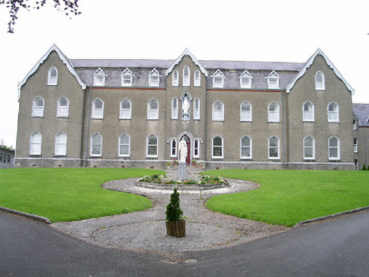 Saint Joseph's Conventconvent/nunnery · 217 yd
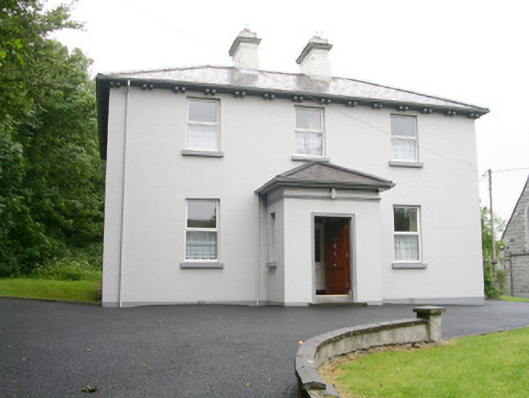 Catholic Church of Saint John the Evangelistpresbytery/parochial/curate's house · 225 yd
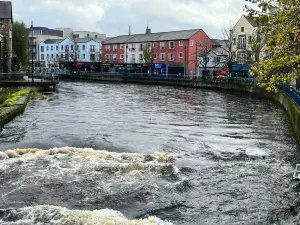 IndicatedFairy fort / stone ringfort · 441 yd
 Enclosure in OghambaunEnclosure · 989 yd
 Ballyara Castle (in Ruins)Castle, unclassified · 1.5 mi
 CastleCastle, unclassified · 1.7 mi
 Muckelty HillMountain / peak · 2.2 mi
 Tymon's HillMountain / peak · 4.7 mi
 Old Cave Burial GroundArchaeological place · 4.8 mi
 Tawnyart WoodWood · 4.9 mi
 New WoodWood · 5.3 mi
 Lough Talt TrailVisitor information · 8.1 mi