What is recorded here
Weston holds a vanished underground passage within its ancient enclosure. Local memory claims the partially collapsed cave disappeared during 1950s land clearance, leaving only a shallow northern-southern depression behind. That missing depth still irritates the mind because human hands shaped the dark before machines erased it.
Within an enclosure (GA061-122----). According to local information, there was a partially collapsed 'cave' here which was destroyed and/or sealed during land clearance in the 1950s. A shallow depression (L 2m, Wth 1m), up to 0.3m in depth and running N-S, in S half of the interior may indicate its position.
The above description is derived from the published 'Archaeological Inventory of County Galway Vol. II - North Galway'. Compiled by Olive Alcock, Kathy de hÓra and Paul Gosling (Dublin: Stationery Office, 1999).
Date of upload: 05 August 2010
This remains an important historical record, but the official description says the monument is no longer visible or has been destroyed. The monument record does not grant public access. Check the route and ask the landowner before entering private land.
- What survives
- No visible remains or recorded as destroyed
Places near here
 LisburnEnclosure · 125 yd
 IndicatedEnclosure · 218 yd
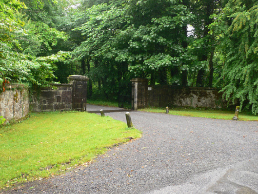 Weston Housedemesne walls/gates/railings · 568 yd
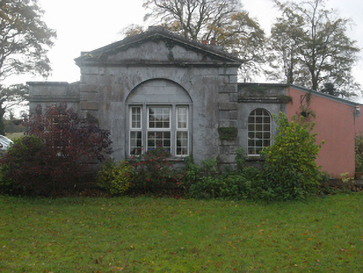 Castlegargate lodge · 647 yd
 LismoneyForest · 1.4 mi
 European ashEuropean ash · 2.1 mi
 Clonbrock CastleCastle, tower house · 2.5 mi
 Killure Castle (in ruins)Castle, tower house · 2.9 mi
 Clooncoran IslandIsland · 3.9 mi
 Inch IslandIsland · 4.4 mi
 Kilconnell AbbeyHeritage attraction · 5.9 mi
 Battle of Aughrim Interpretative CentreMuseum · 7.0 mi