What is recorded here
No visible chamber survives in Townplots West, only an L-shaped shadow cut through the southern earth. The depression narrows before turning west across the rath, suggesting a passage whose roof and walls were taken elsewhere. Perhaps people once walked beneath the mound, guided by darkness and the weight of soil above. More likely, later hands broke the work open and carried its stones to another purpose.
There is an L-Shaped linear sunken feature in the S half of the interior. This is evident immediately inside the entrance gap as a subrectangular depression (c. 5m N−S; 4.4m E–W), which narrows at its S end (Wth 2-3m; D 0.3-0.6m), from where it extends to W across almost the full E-W width of the rath interior. It is possible that this represents a robbed out Man-made underground passage (MA022-003001-), or it could simply be the result of relatively recent quarrying/disturbance.
Compiled by: Jane O’Shaughnessy
Date of upload: 11 March 2019
The monument record does not grant public access. Check the route and ask the landowner before entering private land.
- What survives
- Recorded monument
Places near here
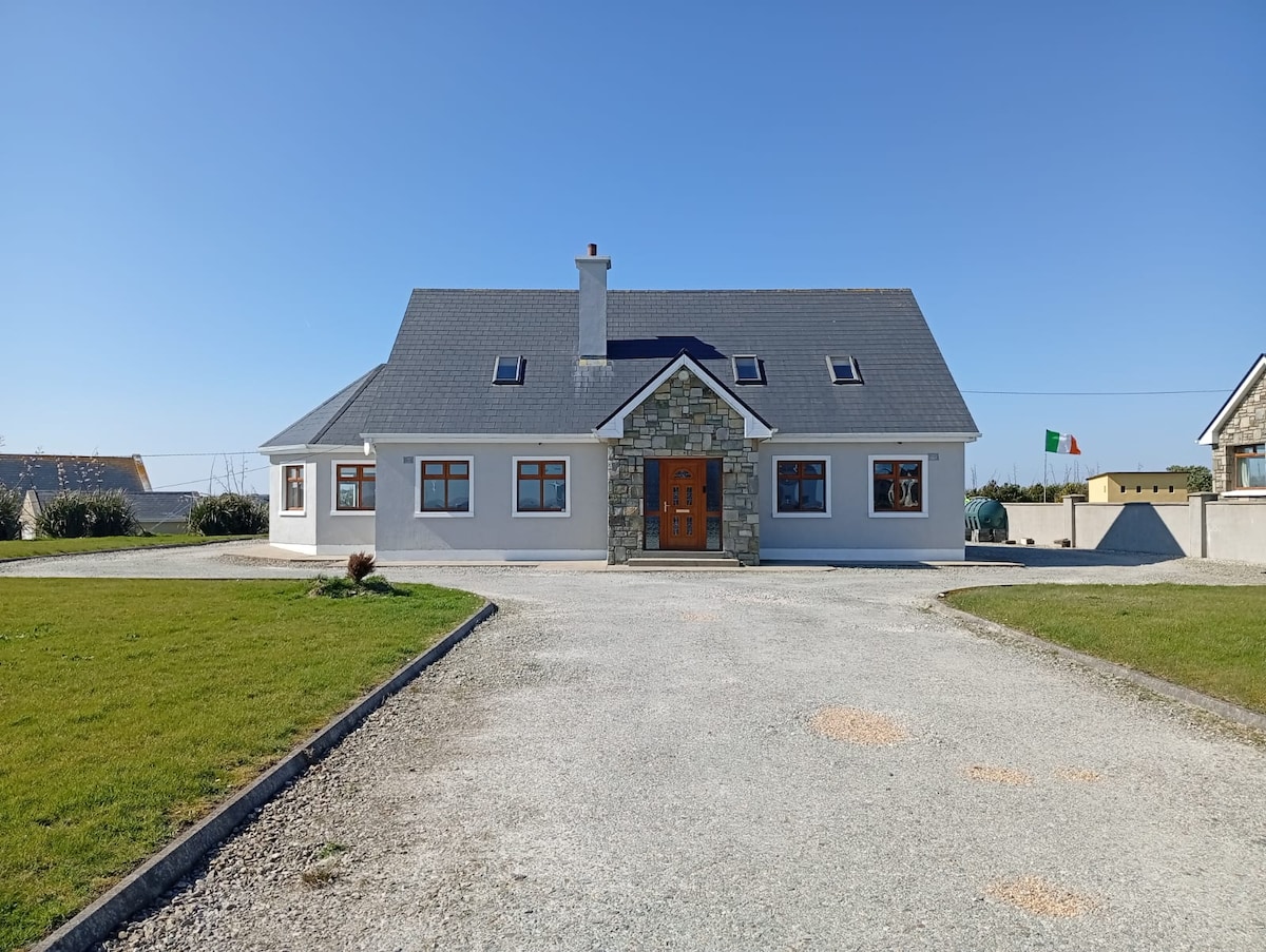 RathlowaghFairy fort / earthen ringfort · 6 yd
 IndicatedEnclosure · 69 yd
 Castlereaghwalled garden · 1423 yd
 Castle (in Ruins)Castle, tower house · 1.0 mi
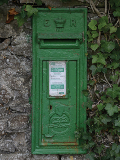 post boxpost box · 1.1 mi
 Battle of Killalabattle · 1.2 mi
 CastleCastle, unclassified · 1.3 mi
 Green IslandIslet · 1.6 mi
 Rinnaun PointHeadland · 2.0 mi
 Battlefields of MoyneBattlefield · 2.6 mi
 Moyne AbbeyHeritage attraction · 3.2 mi
 Bartragh IslandIsland · 3.4 mi