What is recorded here
Located c. 18m W of an 18th century C of I church, and c. 10m W of the wall of Clonmany graveyard (DG010-011001-), believed to be the early ecclesiastical site of Culmaine (Gwynn and Hadcock 1970, 377). A large hole (approx. diam. 2m) in the front garden of a modern bungalow leads down into a small roughly oval shaped, drystone-built chamber (int. diam. 1.67m E-W; 2.74m N-S; approx. max. H 3m). The roof of this chamber was originally corbelled but is now largely collapsed and the rubble partly fills the interior of the chamber. A small square-shaped opening (Wth. 0.65m; H 0.5m; L 0.6m) at the base of the chamber wall at SSE is a creepway leading into a stone-lined passage (L 4.6m; max. Wth 1.4m; H 1.34m) with natural clay floor orientated on a SSE-NNW axis. The walls of the passage incline inwards slightly towards the top and support a roof of stone lintels. At the SSE end of the passage, there is another square-shaped creepway (Wth. 0.58m; H 0.55m; L 0.39m) leading into a second stone-lined passage (L 5.3m; max. Wth. 1.25m; H 1.15m) which is blocked at the SSE end with rubble from the collapsed roof.
Compiled by: Paddy O'Donovan
Date of upload: 28 August 2008
The monument record does not grant public access. Check the route and ask the landowner before entering private land.
- What survives
- Recorded monument
Places near here
 Clonmany Church of Ireland Parish Churchchurch/chapel · 41 yd
 Clonmany ChurchChurch · 41 yd
 Clonmany Early Church GraveyardGraveyard · 54 yd
 Ritual siteRitual site, holy/saint's stone · 63 yd
 Glenevin Waterfall WalkOfficial walking route · 577 yd
 Glenevin WaterfallWaterfall · 1058 yd
 Glenevin Waterfall, Clonmanywaterfall · 1058 yd
 Former Gaddyduff Fairy FortFairy fort / ringfort · 1266 yd
 Raghtin MoreMountain / peak · 1.6 mi
 Glendowen craft shopHeritage attraction · 2.4 mi
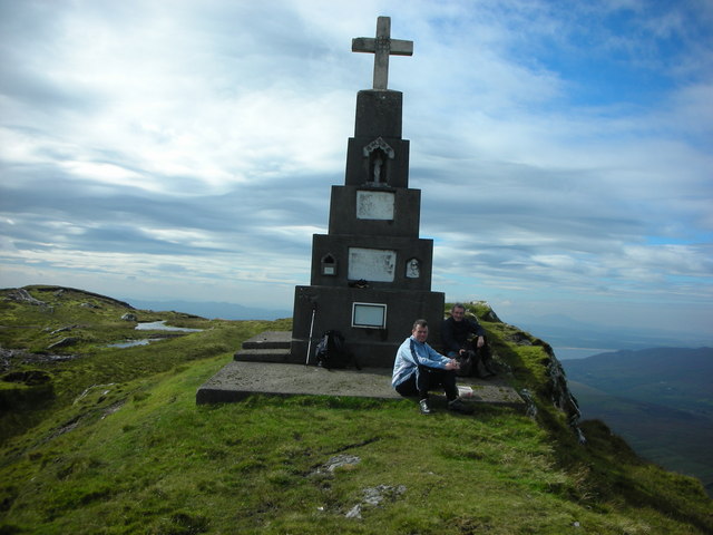 BulbinMountain / peak · 2.8 mi
 Gap of Mamore ViewpointViewpoint · 3.2 mi