What is recorded here
Situated in a low-lying level landscape. According to local information, an underground passage or Man-made underground passage exists in the area of rath (MO031-119001-). Aerial photographs (CUCAP: AVG 62; AVG 63) from the 1970s show the cropmark of a large pit inside the perimeter of the rath at W, which may be a macula, i.e. the site of an uprooted tree, as there are other similar features in the same field. No archaeological feature is visible at ground level in pasture.
Date of revised upload: 31 July 2017
The monument record does not grant public access. Check the route and ask the landowner before entering private land.
- What survives
- Recorded monument
Places near here
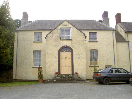 The Gleberectory/glebe/vicarage/curate's house · 433 yd
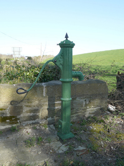 water pumpwater pump · 875 yd
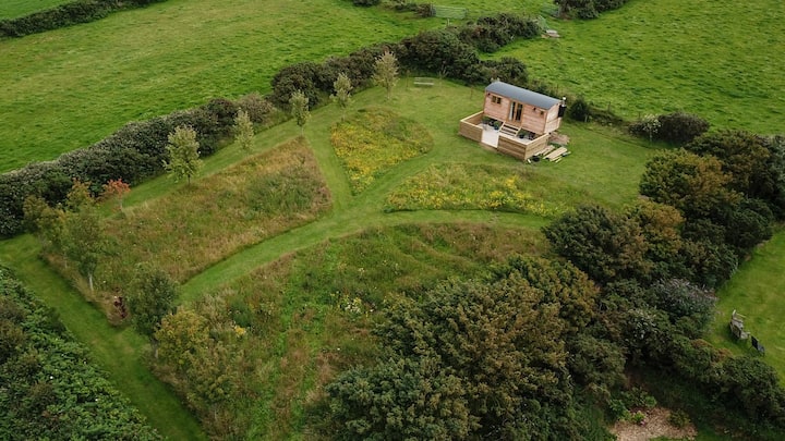 Hut site in DuneltyHut site · 1580 yd
 Man-made underground passage in DuneltyMan-made underground passage · 1656 yd
 CastleCastle, motte and bailey · 1.2 mi
 Flat cemetery in AnnaheanFlat cemetery · 3.2 mi
 Mannan Castle (in ruins)Castle, Anglo-Norman masonry castle · 3.7 mi
 Horse-chestnutHorse-chestnut · 3.9 mi
 European BeechEuropean Beech · 3.9 mi
:no_upscale()/cdn.vox-cdn.com/uploads/chorus_asset/file/25593391/County_Louth_6th.jpg) LouthMountain / peak · 4.6 mi
LouthMountain / peak · 4.6 mi TobernagalliaghSpring · 5.1 mi
 BarleyhillMountain / peak · 6.4 mi