What is recorded here
This Man-made underground passage, not marked on the OS maps, is located in the SE quadrant of a roughly circular field which is bounded on its W side by a stream. The site affords a restricted view of Kenmare Bay to S. The Man-made underground passage entranee faces SE and gives access to a small passage, 9m wide and 1.5m high, which slopes downwards to N W for 1.95m. The passage, with sides of earth, is roofed by a series of overlapping lintels; small pad-stones are wedged beneath the lintels. There is a tunnelled creepway, .6m x .4m and .65m long, in the NW end-wall of the passage. An accumulation of stone beyond the creepway prevents access. Adjacent, in the SW side-wall, is a second tunnelled creepway, .44m x .7m and .25m long, which leads into a tunnelled chamber with a domed roof. The longer axis of the chamber is NE-SW, but a mound of earth directly inside the creepway prevents access.
The above description is derived from A. O'Sullivan and J. Sheehan (compilers), 'The Iveragh peninsula: an archaeological survey of South Kerry'. Cork University Press (1996), no. 902. In certain instances the entries have been revised and updated in the light of recent research.
Date of upload: 29 July 2013
The monument record does not grant public access. Check the route and ask the landowner before entering private land.
- What survives
- Recorded monument
Places near here
 Liss CashelArchaeological place · 1007 yd
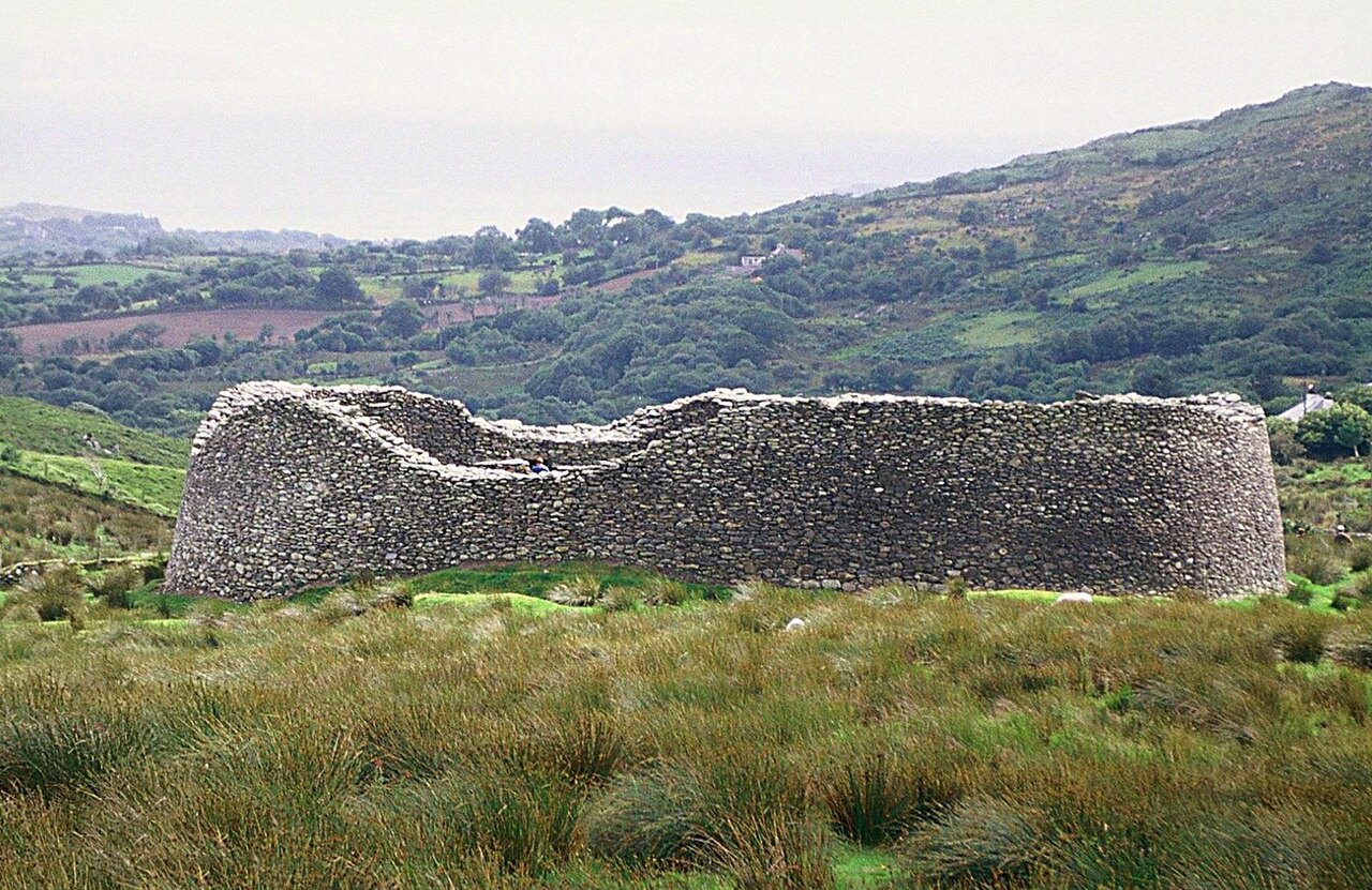 Staigue FortFairy fort / stone ringfort · 1193 yd
 Cnoc na StéigeMountain / peak · 1411 yd
 Cowlagh (in Ruins)Church · 1662 yd
 Cnoc na Stéige (mullach thoir thuaidh)Mountain / peak · 1718 yd
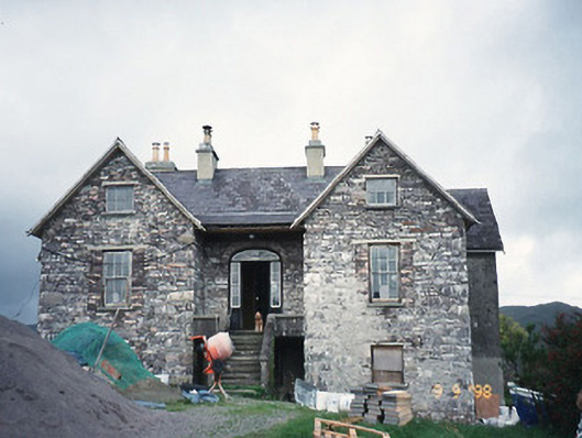 Scart Househouse · 1.3 mi
 2Cliff · 1.3 mi
 Castle Cove (in Ruins)Castle, tower house · 1.5 mi
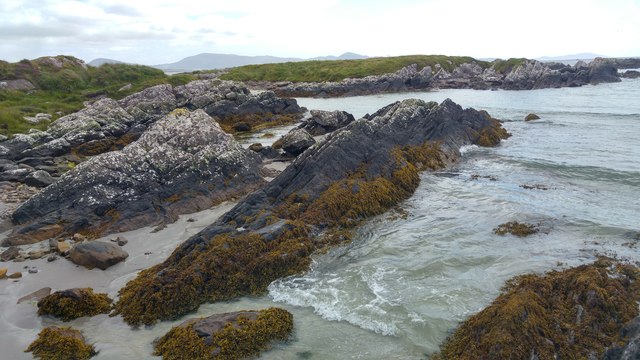 White StrandBeach / strand · 1.7 mi
 IllaundraneIslet · 1.9 mi
 Reen BeachBeach / strand · 2.6 mi
 An PlaoscHeadland · 3.5 mi